

Raster to MBTiles#
Generates MBTiles from raster data from input GDAL-supported raster dataset.
Inputs:
Raster dataset - RGB, RGBA, singleband grayscale or singleband paletted GDAL-supported raster dataset;
Zoom levels - Optional. A range, e.g.
8-14;Output name - Optional. Name for the output MBTiles file. .mbtiles extension will be added automatically.
Outputs:
Tiles in MBTiles format.
Launch the tool: https://toolbox.nextgis.com/t/raster2mbtiles
Example:
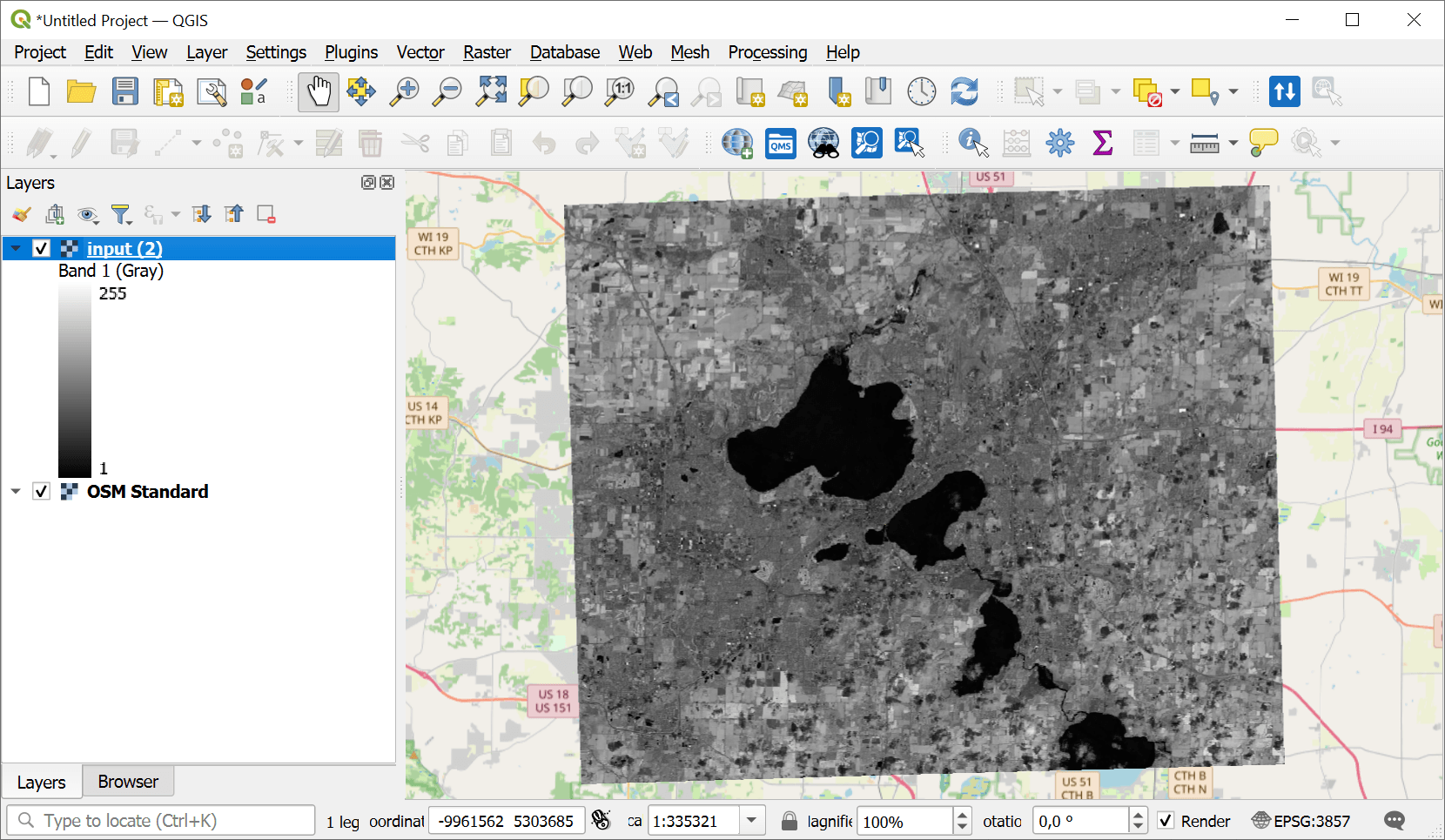
Fig. 239. GeoTIFF file in QGIS#
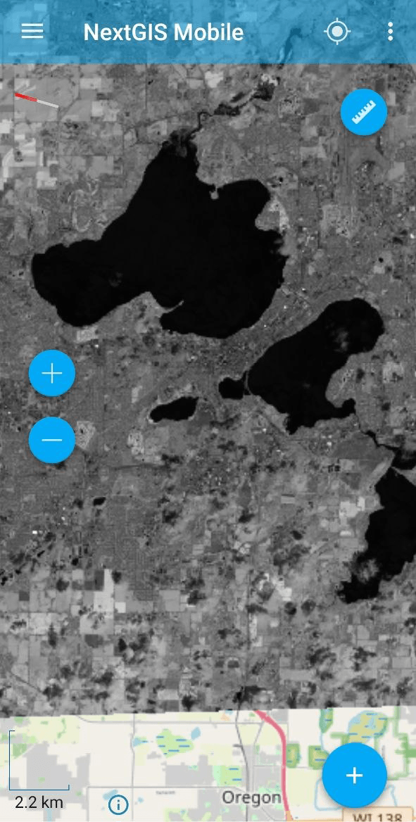
Fig. 240. MBTiles opened in NextGIS Mobile#
Try the tool in action
Click on the Demo button above the tool form. The fields are filled in with demo values.
Click on the Run button.