3.2.55. Intersector
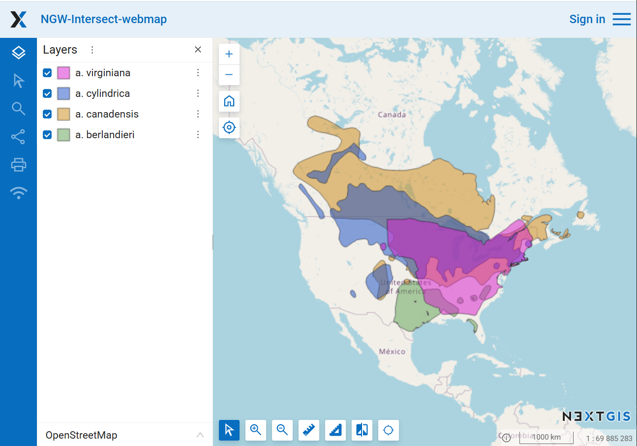
The tool intersects all layers of the nextgis.com web map using the specified geometry and generates a report for each layer.
Inputs:
Web GIS address. NextGIS Web URL, e.g.: https://sandbox.nextgis.com;
Web Map ID. Numbers at the end of the Web Map URL;
WKT geometry. Geometry for intersection in WKT format. Coordinate system: EPSG:3857.
Outputs:
XLSX table with a list of intersected layers.
Launch the tool: https://toolbox.nextgis.com/t/ngw-intersect
Example:

Pic. 3.45. Example input

Pic. 3.46. Example output
Try the tool in action
Click on the Demo button above the tool form. The fields are filled in with demo values.
Click on the Run button.