Improve DEM#
Improves Digital Elevation Model, makes the resulting contour lines smoother and simpler.
Input, all fields are required:
Raster file - DEM file in TIFF format downloaded from NextGIS Data;
Interpolation method used to enhance the DEM file. Available methods:
Nearest neighbor (nearest)
Bilinear (bilinear)
Cubic (cubic)
Cubic spline (cubicspline)
Lanczos (lanczos)
Linear (average)
RMS (rms)
Mode (mode);
Interval between contours - Vertical step of the contour lines in meters;
Simplification step for the contour lines. Integer (for example, 2), decimal separated by a dot (for example, 0.02) or exponential notation (for example, 2e-2)
Refinement, % - Improvement of the DEM file resolution, in percents. Shows how much the pixel size should increase/decrease. For example, a value of 1000 % will result in 10 times smaller pixels
Output:
TIFF file of the refined DEM;
GeoPackage file of the contour lines.

Fig. 155. Input raster#
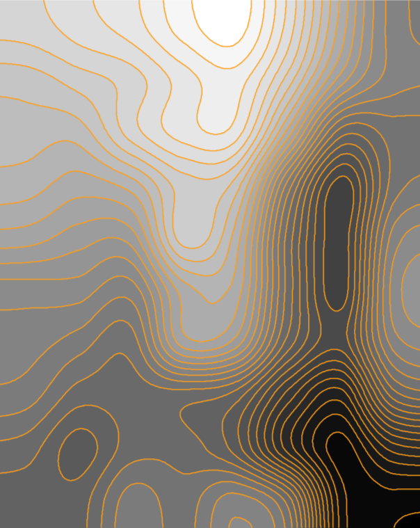
Fig. 156. Processed raster and contours generated from it#
Launch the tool: https://toolbox.nextgis.com/t/improvedem
Try the tool in action
Click on the Demo button above the tool form. The fields are filled in with demo values.
Click on the Run button.