Spatial Join (Join by location)#
Insert into layer 1 attribute from intersects feature in layer 2
Inputs:
Vector layer 1
Polygon layer 2
Name of attibute in layer 2
Outputs:
ZIP with Shapefile layer 1 with added attribute
QML style file
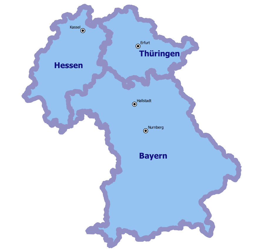
Fig. 204. Example of source data: cities and regions#
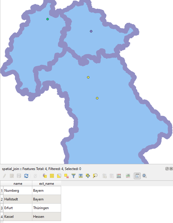
Fig. 205. Example output: cities with added region name#
Launch the tool: https://toolbox.nextgis.com/t/spatial_join
Try the tool in action
Click on the Demo button above the tool form. The fields are filled in with demo values.
Click on the Run button.