

Comprehensive Terrain Analysis#
Complete geomorphological analysis of a DEM: morphometry, hydrology, terrain indices, classifications, and statistics. Produces a ZIP package with rasters, vectors, CSVs, and a JSON manifest.
Inputs:
DEM Package (ZIP). ZIP file from Search & download Planetary Computer containing a DEM GeoTIFF and manifest.json
Contour Interval (m). Elevation interval for contour lines in meters (default: 10)
Major Contour Interval (m). Elevation interval for major contour lines in meters (default: 50)
Watershed Threshold (cells). Minimum number of cells for watershed delineation (default: 500)
TPI Small Radius (cells). Neighborhood radius for small-scale TPI in cells (default: 5)
TPI Large Radius (cells). Neighborhood radius for large-scale TPI in cells (default: 25)
Outputs:
Terrain Analysis Package (ZIP). ZIP archive with rasters, vectors, statistics, and manifest
Summary. Human-readable summary of the terrain analysis results
Manifest JSON. JSON manifest string describing all outputs
Launch the tool: https://toolbox.nextgis.com/t/terrain_analysis
Example:
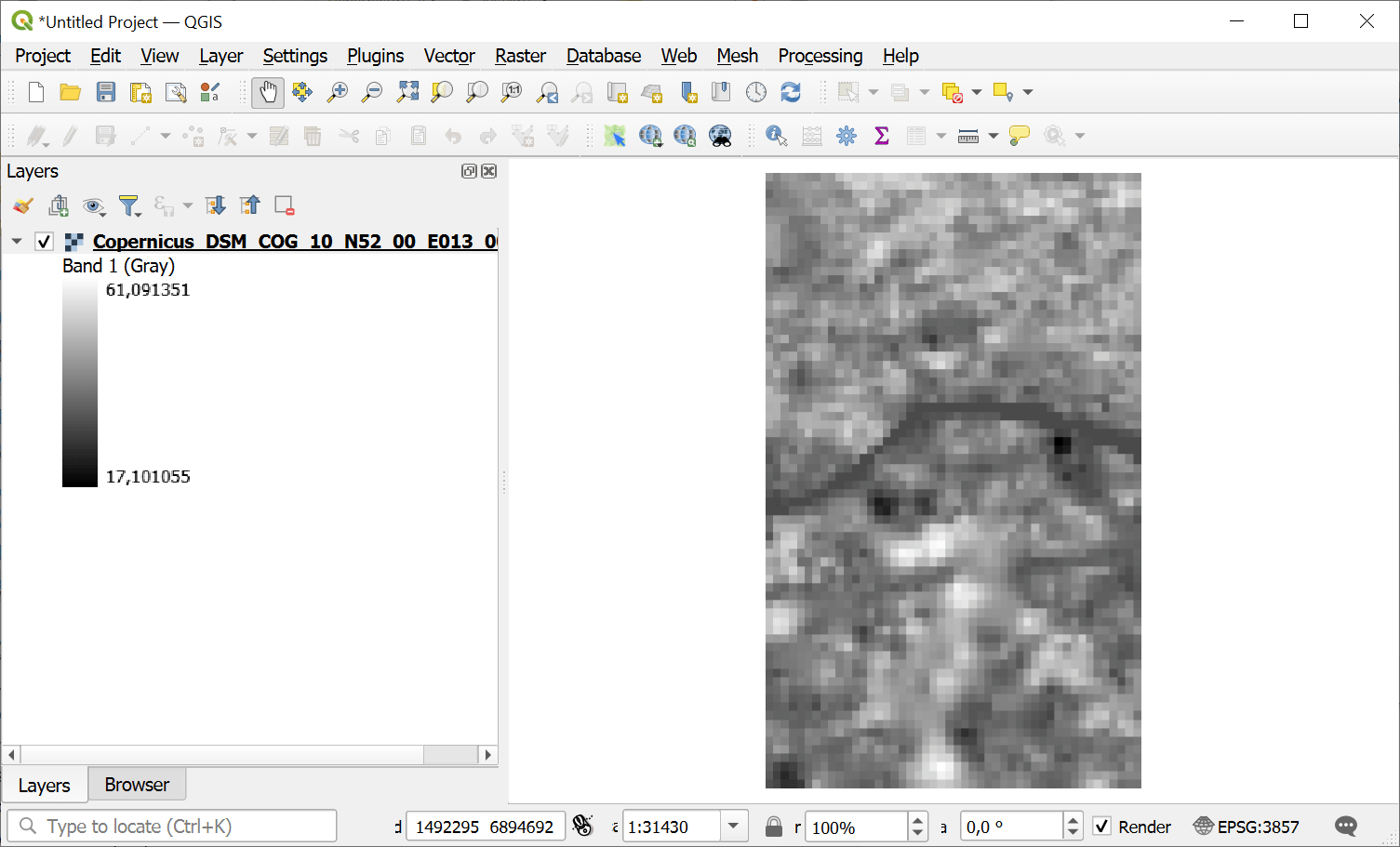
Fig. 250. Example input#
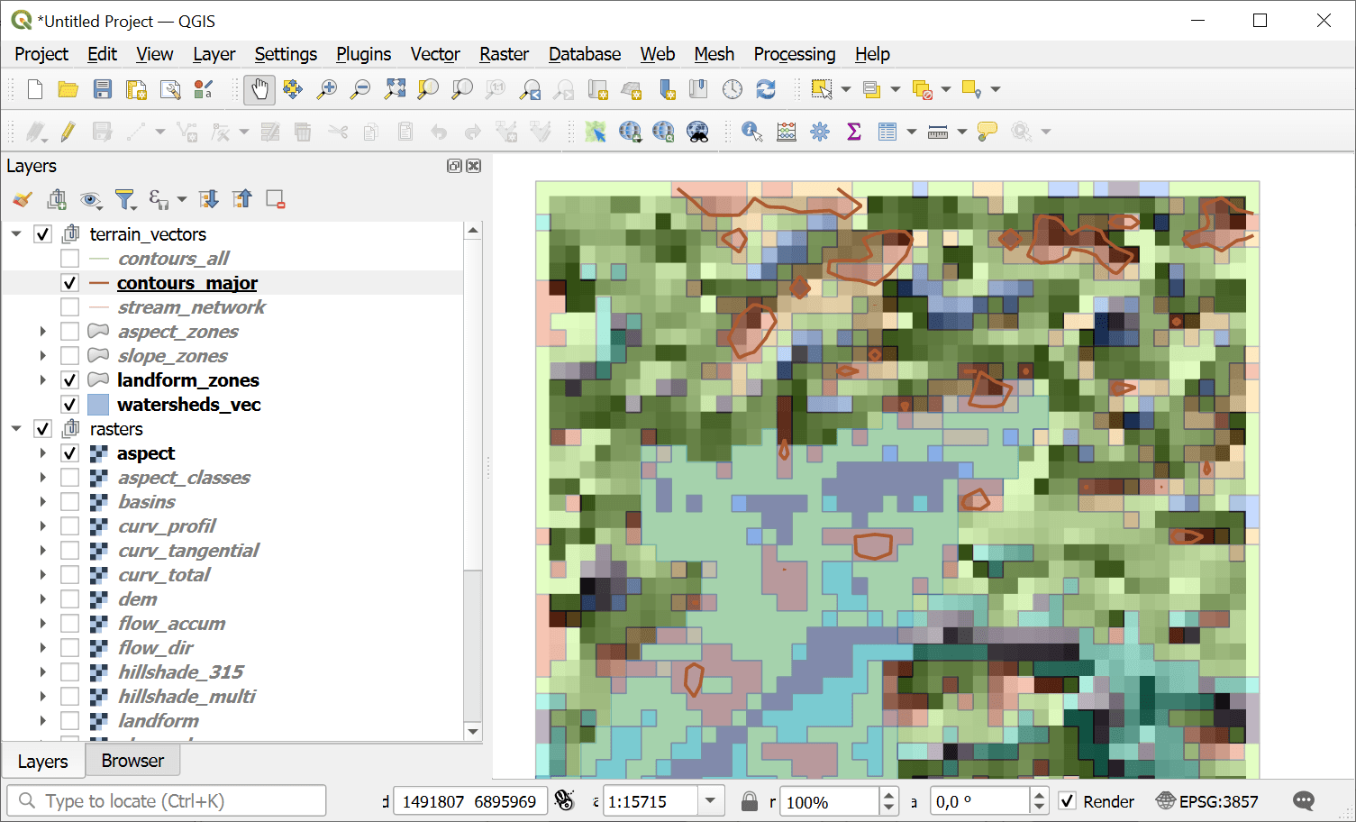
Fig. 251. Example output#
The output of this tool can be used in other tools:
Try the tool in action
Click on the Demo button above the tool form. The fields are filled in with demo values.
Click on the Run button.