Fix geometries (QGIS)#
Correction of incorrect geometries in vector files using the qgis:fixgeometries algorithm.
Inputs:
ZIP archive with vector files. Only single-file formats are supported (GeoPackage, GeoJSON, etc. not ESRI Shapefile);
Method. The method of the qgis algorithm ‘fixgeometries’. Choose one from the list: Linework or Structure.
Outputs:
ZIP archive containing vector files with correct geometry.
Launch the tool: https://toolbox.nextgis.com/t/qgis_fix_geometries
Example:
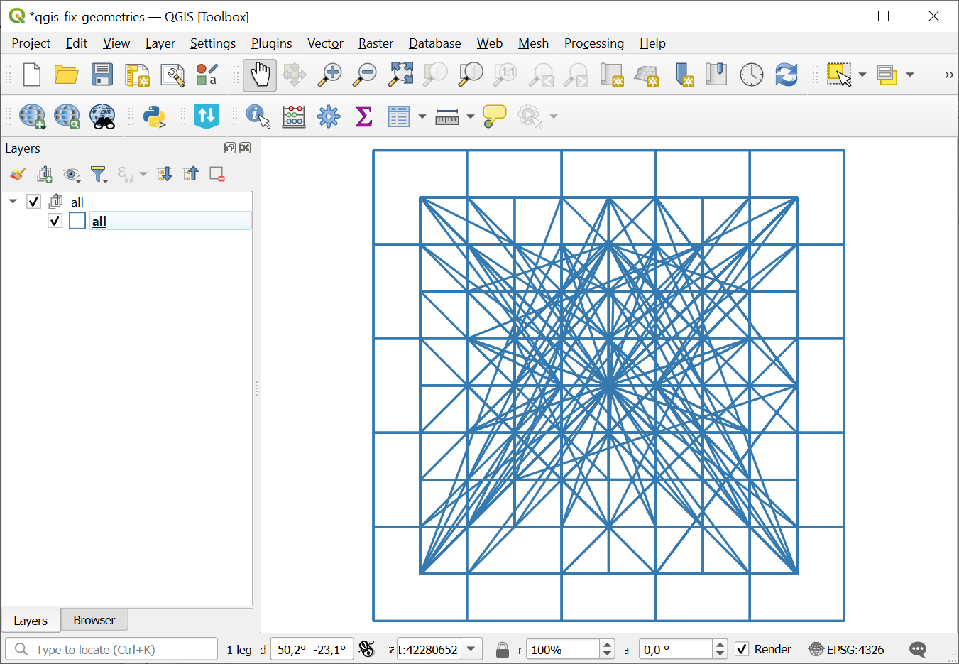
Fig. 193. Example input#
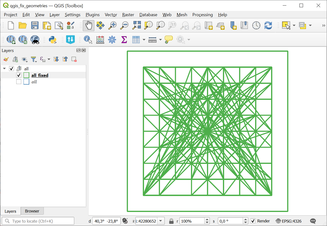
Fig. 194. Fixed geometries#
Try the tool in action
Click on the Demo button above the tool form. The fields are filled in with demo values.
Click on the Run button.