3.2.45. Convert lines to polygons
Each line turns into a polygon. Straight and self-intersected lines are omitted. Multilines are exploded to multiple features.
Input:
Linear vector layer in GeoJSON or GeoPackage format or ESRI Shapefile in a zip archive.
Output:
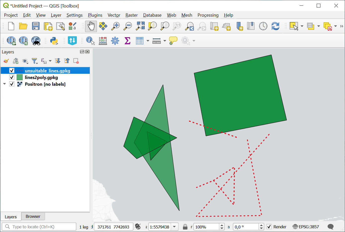
Polygon layer;
Linear layer with remaining self-intersecting lines.
Both files are in the same format as the input.
Launch the tool: https://toolbox.nextgis.com/t/lines2poly
Example:

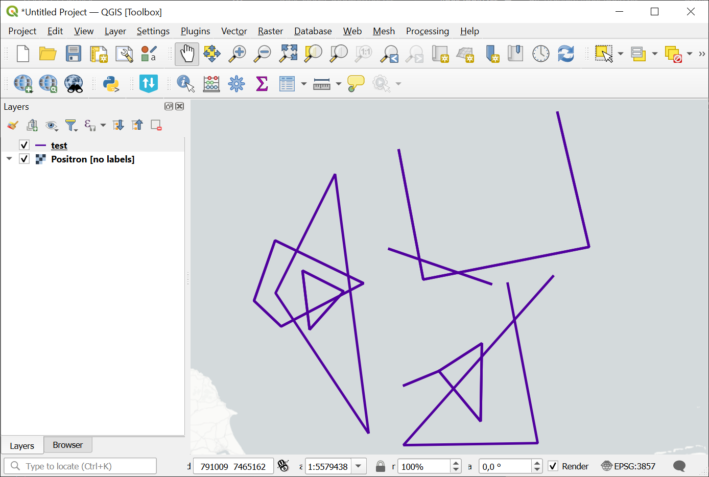
Pic. 3.36. Example input

Pic. 3.37. Example output: polygons and sefl-intersecting lines
Try the tool in action
Click on the Demo button above the tool form. The fields are filled in with demo values.
Click on the Run button.