Advanced vector generalization#
Simplification of vector layer features to reduce data volume.
Inputs:
Vector layer. Layer in GeoPackage, GeoJSON or ESRI Shapefile (ZIP-archived) format
Merge nodes closer than. The value (in coordinate system units) at which geometry nodes are merged. Default is -1 meaning no merging. Optional
Number of iterations. An integer indicating the number of iterations of the simplification, smoothing, or shifting procedure. Optional
Method of generalization. Choose a generalization method: douglas, douglas_reduction, lang, reduction, reumann, boyle, sliding_averaging, distance_weighting, chaiken, hermite, snakes, displacement;
Max tolerance value (threshold). Number between 0 and 1000000000. If the method does not refer to this parameter, specify any number
Number of points. An integer that specifies the number of points used in some methods. Optional. The default value is 7
Reduction. A number from 0 to 100. In the simplification algorithm, it characterizes the percentage of points that are preserved relative to the original number of points. An optional parameter. The default value is 50
Slide. A number from 0 to 1, characterizes the shift of the obtained point relative to the original. Optional parameter. The default value is 0.5.
Minimum angle. A number from 0 to 180. Specifies the minimum angle between two consecutive line segments. Optional. The default value is 3
Alpha. Number, parameter for the Snakes method. Optional. The default value is 1
Beta. Number, parameter for the Snakes method. Optional. The default value is 1
More on options for various algorithms
Output:
GeoPackage file with simplified features (geometries) in a ZIP archive.
Launch the tool: https://toolbox.nextgis.com/t/generalization
Example:
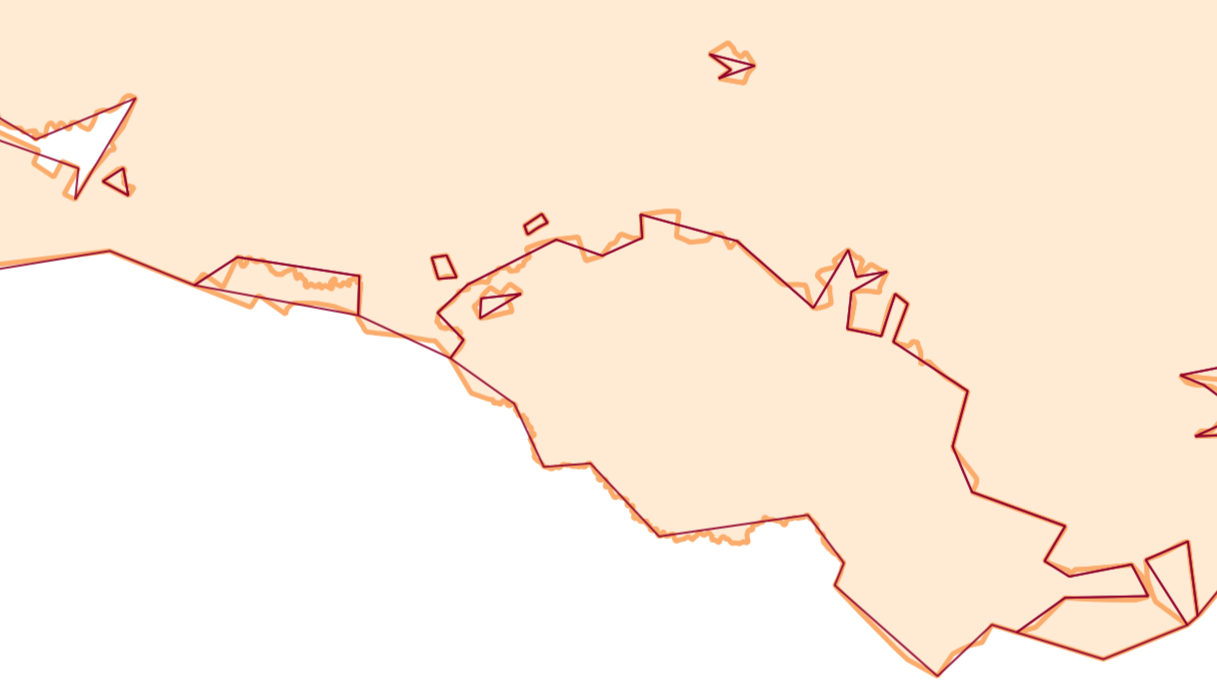
Fig. 135. Light line - input geometries, dark line - output geometries#
Try the tool in action
Click on the Demo button above the tool form. The fields are filled in with demo values.
Click on the Run button.