Uploading and storing 3D datasets#
What is a three-dimensional dataset (format specification given on the link) - a special set of three-dimensional tiles, which can handle Cesium, organized as a spatial data structure as a tree.
What formats are supported - cesium 3D tileset. A tileset is described by at least one JSON file containing tileset metadata and a tree of tile objects, each of which can refer to updated content in one of the following formats:
How to upload a 3D dataset. To upload a three-dimensional dataset you need to create a “3D tileset” resource (Fig. 702.).
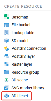
Fig. 702. Resource selection “3D tileset”#
The process of creating a 3D tileset resource is performed step by step and is divided into 5 tabs in the interface. The first one is to set the name of the 3D tileset resource (Fig. 703.). This field is required.
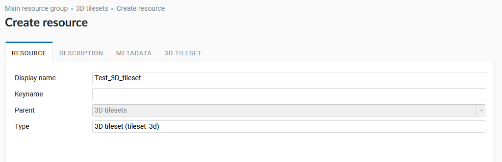
Fig. 703. Resource name “3D tileset”#
On the second tab it is possible to add a textual description of the resource in any form. On the third tab the user can add metadata to the 3D tileset resource (Fig. 704.).
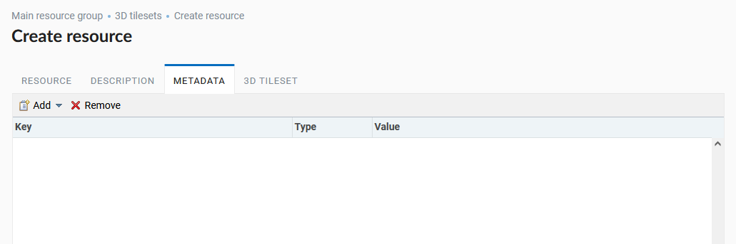
Fig. 704. 3D tileset Resource metadata tab#
The fourth tab 3D TILESET involves uploading a 3D dataset from the user’s computer in a zip archive. And also defines the offset value of the dataset along the Z axis and the correlation with the terrain data - if the option is selected, the zero level of the tileset will be set to the terrain height (Fig. 705.).
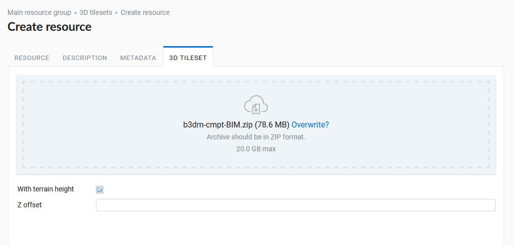
Fig. 705. Uploading a 3D dataset and settings of a terrain height and tilesets displacement along the Z axis#
After clicking the “Create” button the 3D tileset resource will be created in the specified NextGIS Web directory (Fig. 706.).
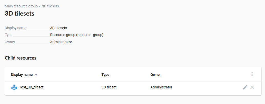
Fig. 706. 3D tileset in NextGIS Web directory#