Vertical map for Social Media#
Generate map image prepared for posting in social networks like Instagram and TikTok. Map is designed for simplicity: it has vertical aspect ratio and does not have labels. You will be able to overlay markers and labels in any image editor or while posting on social media.
Inputs:
Map Extent (bbox). Comma-separated bounding box in geographic coordinates: xmin,ymin,xmax,ymax (S,W,N,E), example:
30.1,54.9,30.9,55.1'.
Outputs:
Output image in WEBP format.
Launch the tool: https://toolbox.nextgis.com/t/mappy
Example:
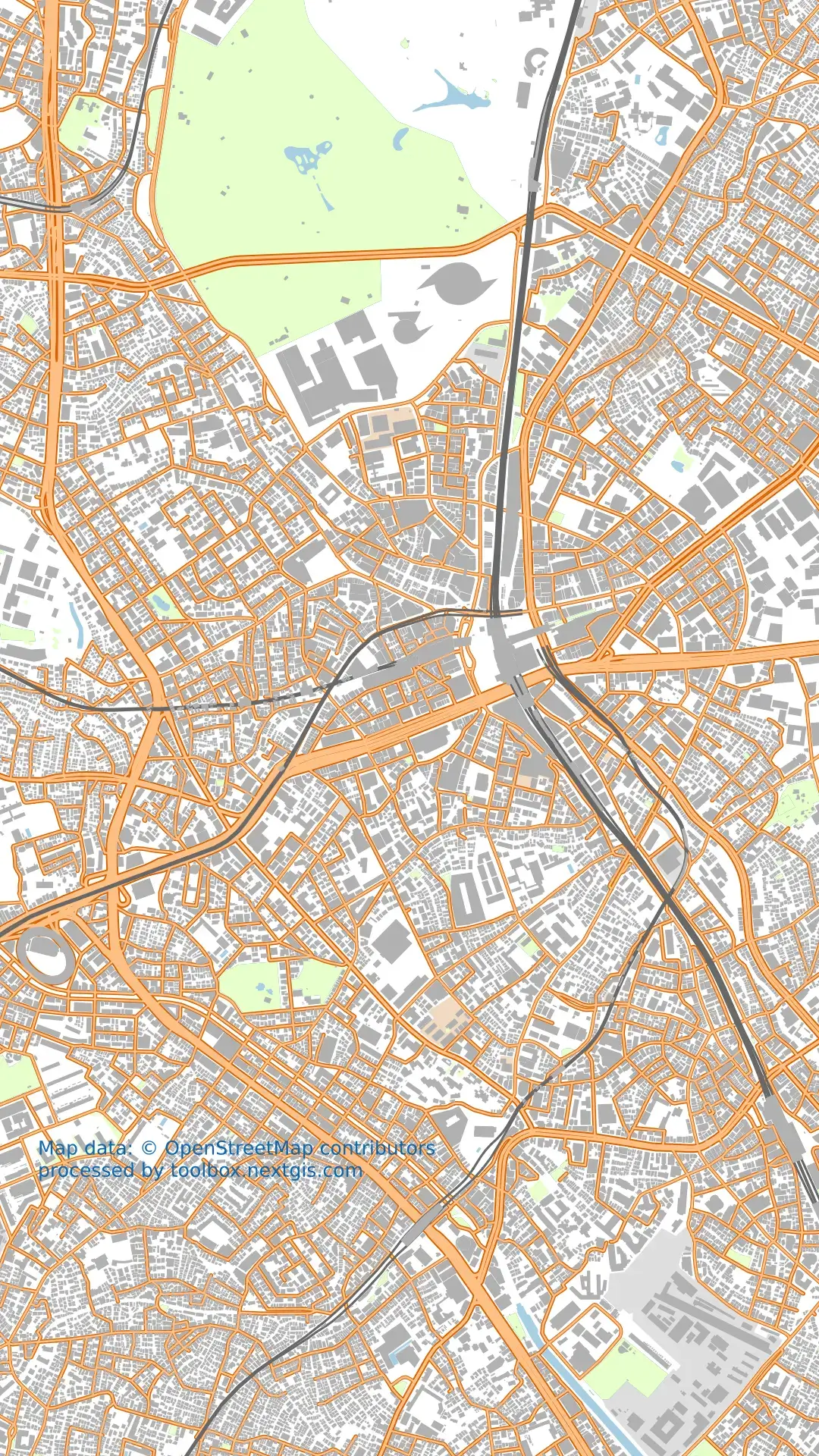
Fig. 165. Example output#
Try the tool in action
Click on the Demo button above the tool form. The fields are filled in with demo values.
Click on the Run button.