

Photos with EXIF to KMZ#
Conversion of one or more photos with EXIF tags to KMZ (Google Earth). Using this tool you can publish your photos in desktop version of Google Earth - Google Earth Pro. If the photos don’t have geotags, but you have track recorded while you were taking them, you can add the EXIF tags using online tool Geotag photos using GPX track.
Note
You can also create an interactive Web Map with your photos on NextGIS Web using Photos with EXIF to NGW layer
Inputs:
Photos - Select a single JPEG with EXIF tags or a ZIP archive containing such photos.
Outputs:
KMZ file
Launch the tool: https://toolbox.nextgis.com/t/exif2kmz
Example:
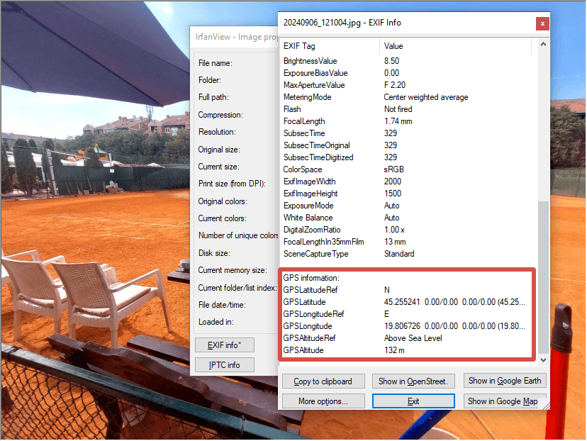
Fig. 149. Example input: geotagged photo#
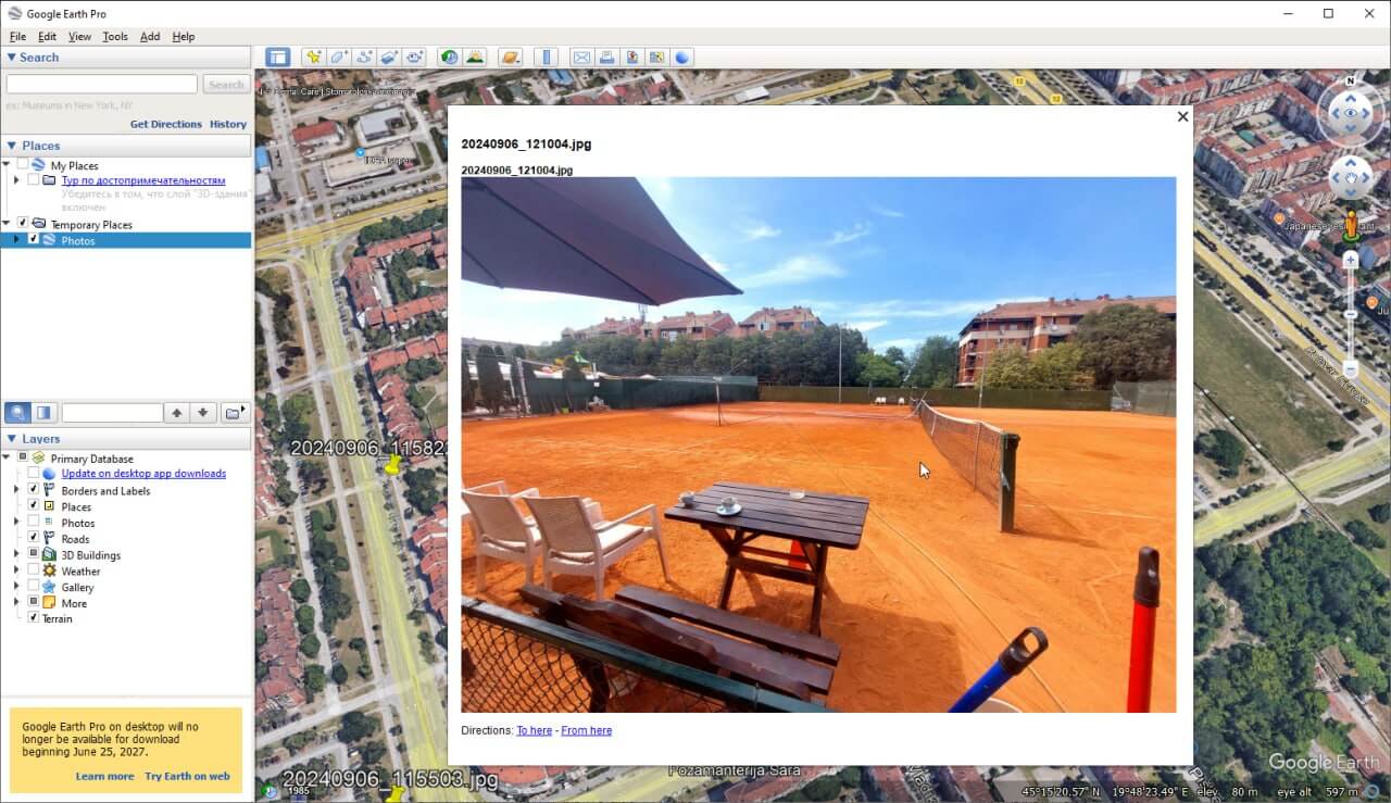
Fig. 150. Example output: point with photo in Google Earth#
Try the tool in action
Click on the Demo button above the tool form. The fields are filled in with demo values.
Click on the Run button.