Normalized difference index#
The tool calculates the normalized difference index for any two input images.
Inputs:
GDAL-supported rasters (the first band will be used for the calculations).
First raster. First measurement for the NDVI calculation, e.g. NIR band;
Second raster. Second measurement for the NDI calculation, e.g. red band.
Outputs:
A raster with normalized difference index in GeoTiff format.
The calculation is carried out according to the formula: (First image - Second image) / (First image + Second image). The pixel values of the resulting raster are in the range from -1 to 1 Before the calculation, both images are brought into a single spatial domain. The projection and spatial resolution of the first raster is used.
Examples of common normalized difference indices:
NDVI - for vegetation assessment (the first raster - NIR, the second - RED) For Landsat 8 data: 5 and 4 bands. For Sentinel: 4 - RED, 8 - NIR.
NDWI - for the detection of water bodies (the first raster - NIR, the second - SWIR). For Landsat 8 data: 5 and 6 bands. For Sentinel: 4 - RED, 11 (SWIR, 1610nm) and 12 (SWIR, 2190nm).
NDSI - for assessing the snow cover (the first raster - GREEN, the second - SWIR). For Landsat 8 data: 3 and 6 bands. For Sentinel: 3 - GREEN, 11 (SWIR, 1610nm) and 12 (SWIR, 2190nm).
Example:
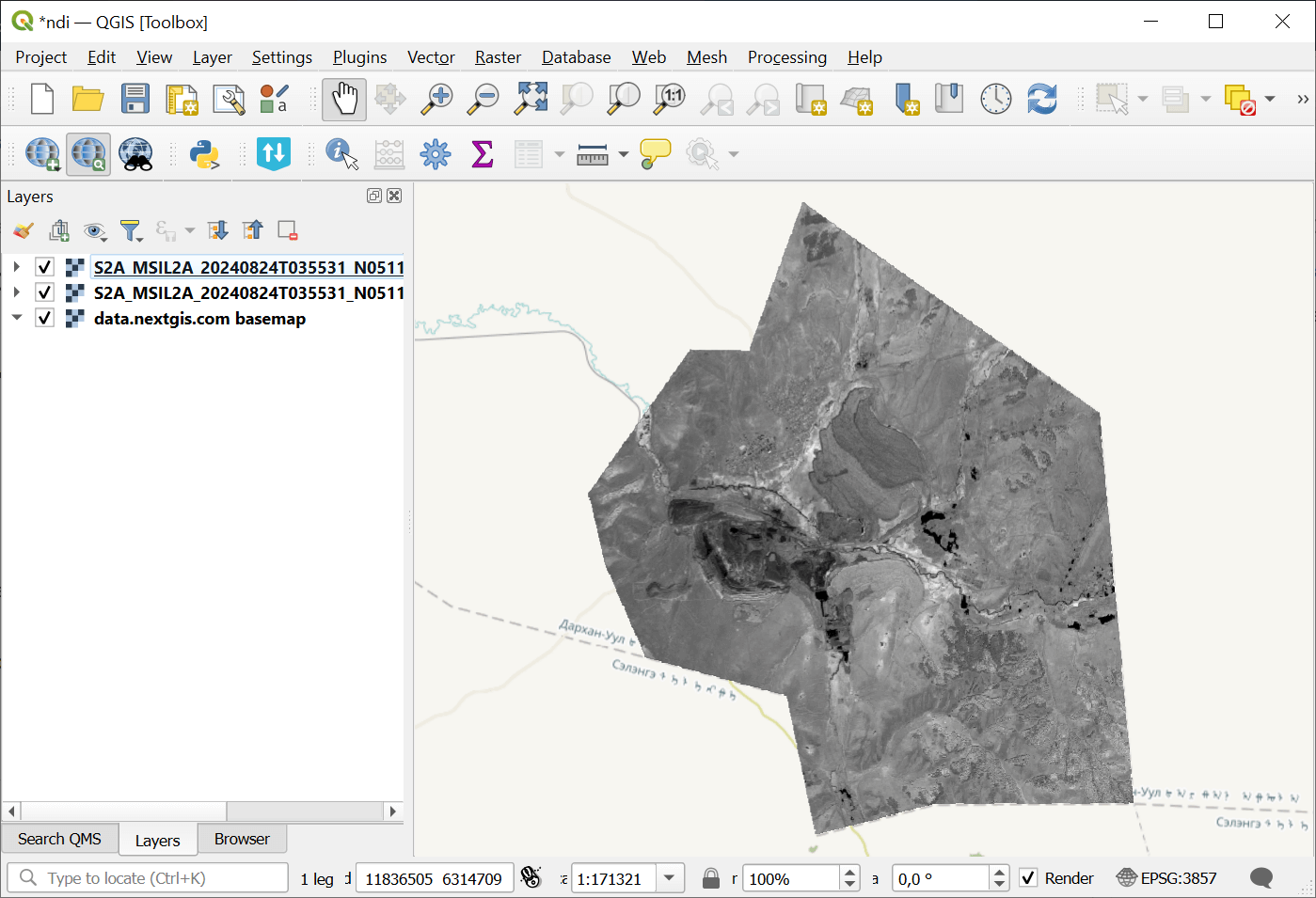
Fig. 166. Example input#
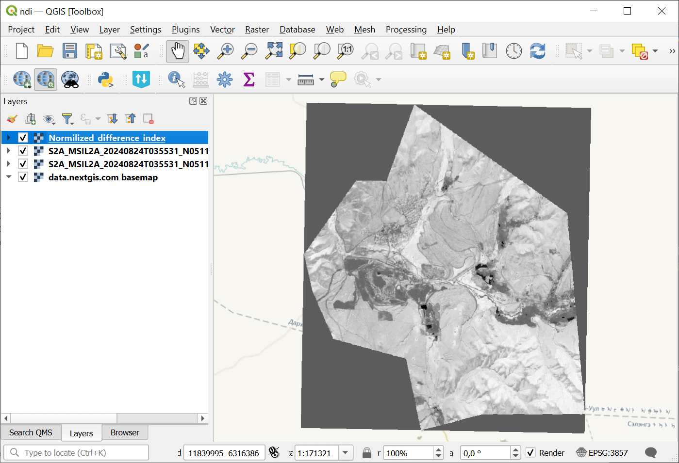
Fig. 167. Example output#
Launch the tool: https://toolbox.nextgis.com/t/ndi
Try the tool in action
Click on the Demo button above the tool form. The fields are filled in with demo values.
Click on the Run button.