Points inside polygons#
Calculate coorinates of a point guaranteed to be inside a polygon and add the calculated coordinates to point_X, point_Y attributes. PointOnSurface method.
Inputs:
Polygon vector layer in one of the formats, supported by GDAL, e.g. Shapefile in ZIP-archive, GeoJSON, GeoPackage.
Outputs:
ZIP with polygonal shapefile with two fields added: point_X, point_Y
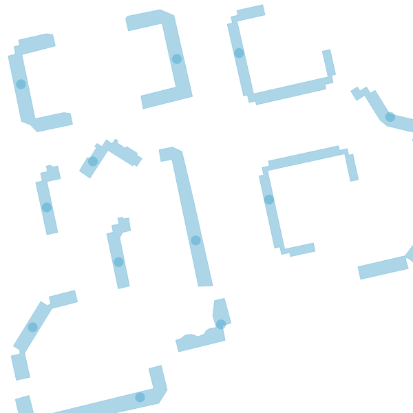
Fig. 118. Visualization of the calculated centroids#
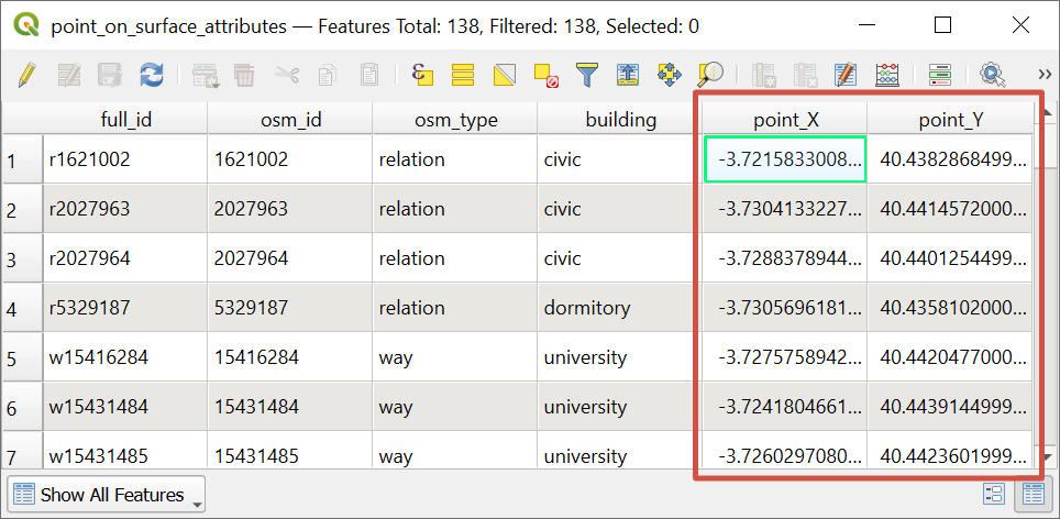
Fig. 119. Resulting feature table of the layer with added attributes#
Launch the tool: https://toolbox.nextgis.com/t/centroid2attr
Try the tool in action
Click on the Demo button above the tool form. The fields are filled in with demo values.
Click on the Run button.