

Resource group to Web Map#
Creates a Web Map from vector and raster layers of a resource group. Web Map extent is set to the combined extent of all the layers.
Inputs:
Web GIS address - URL of your Web GIS, e.g. https://demo.nextgis.com and login/password if necessary;
Resource group ID - number at the end of the link to the folder with layers. For Main resource group ID=0;
Web Map name - name of the Web Map to create. If not set, a name will be generated automatically (group name + “map”);
Create default style - if a layer has no style, creates a default one instead of skipping the layer. If disabled, layers with no styles are not included in the Web Map;
Overwrite Web Map. If a Web Map with the same name already exists in the resource group, replace it.
Outputs:
Link to the Web Map;
Error log
Launch the tool: https://toolbox.nextgis.com/t/ngw_group2webmap
Example:
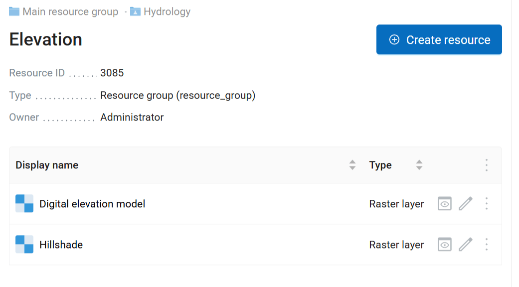
Fig. 202. Source group containing raster layers#
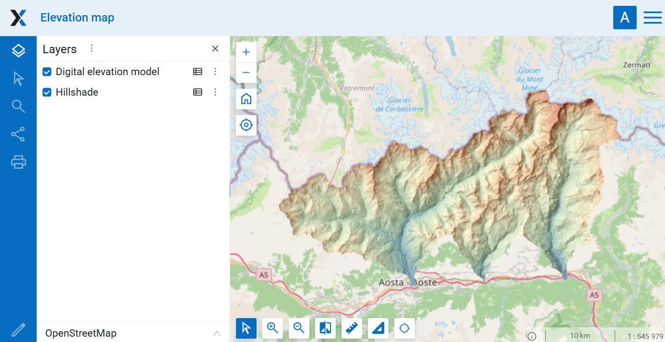
Fig. 203. Resulting Web Map#
Try the tool in action
Click on the Demo button above the tool form. The fields are filled in with demo values.
Click on the Run button.