

Buffer#
Computes buffer areas for all features in an input layer using a fixed or attribute-based distance.
Inputs:
Source file. Single file or ZIP with any OGR-compatible vector dataset.
Buffer distance source. Where to take the buffer distance from:
Value;
Attribute;
Buffer distance - buffer distance when Value is selected;
Attribute name - numeric attribute containing buffer distances if Attribute is selected;
Calculation CRS - coordinate reference system used for buffering:
Source layer internal CRS (Internal);
Optimal UTM Zone (UTM);
Segments - number of segments used to approximate a quarter circle in rounded buffers;
Merge overlaps - dissolve overlapping buffers. Disconnected dissolved parts are written as separate features;
Output format - format of the output buffer dataset:
GeoPackage (GPKG);
GeoJSON (GeoJSON);
Output CRS - coordinate reference system of the output file:
Source layer internal CRS (Internal);
WGS84 (EPSG:4326) (WGS84);
Pseudo Mercator (EPSG:3857) (Pseudo Mercator);
Optimal UTM Zone (UTM).
Outputs:
GeoPackage file.
Launch the tool: https://toolbox.nextgis.com/t/buffer
Example:
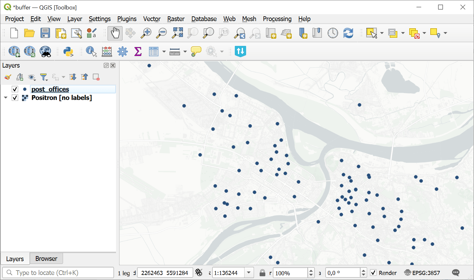
Fig. 128. Source point layer#
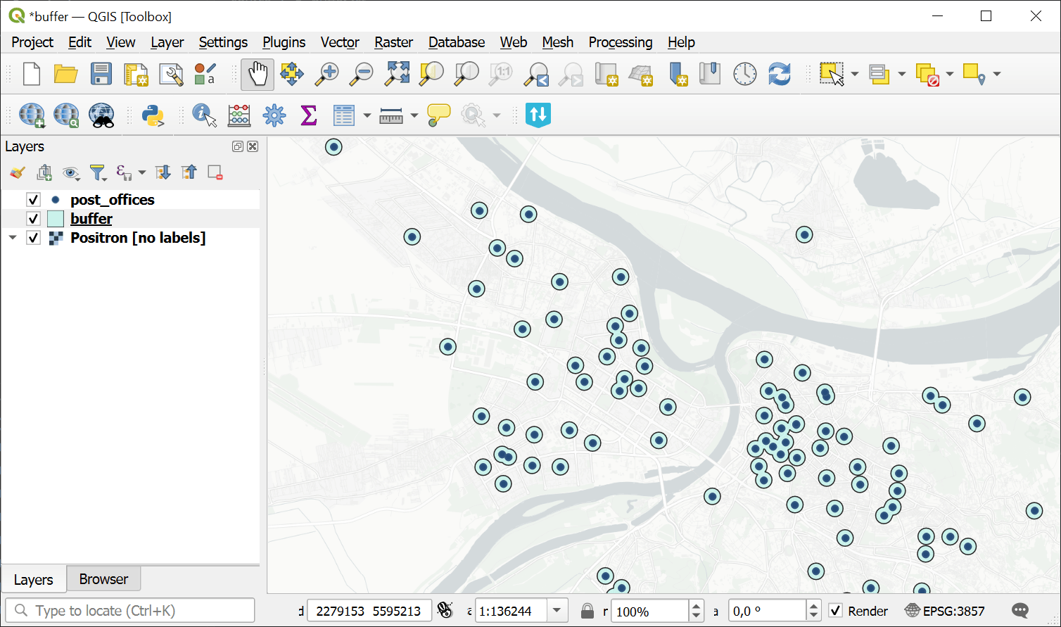
Fig. 129. Buffer zones created around the points#
Try the tool in action
Click on the Demo button above the tool form. The fields are filled in with demo values.
Click on the Run button.