Adobe Illustrator (*.ai) to geodata#
Launch the tool: https://toolbox.nextgis.com/t/ai2geo
The tool extracts vector layers from an Adobe Illustrator (*.ai) file. An additional raster file could be used for georeference.
Inputs:
Adobe Illustrator file (with the .ai extension) which contains vector features.
Raster file for georeferencing - GeoTIFF file (with the .geotiff or .tif extension) or ZIP-archive with PNG + PGW (world-file). Same files should be used as a base layer in AI file. This is an optional field, if you leave it blank, vector layers will be in a relative coordinate system.
Output:
ZIP-archive with a set of ESRI Shapefile files.
Example:
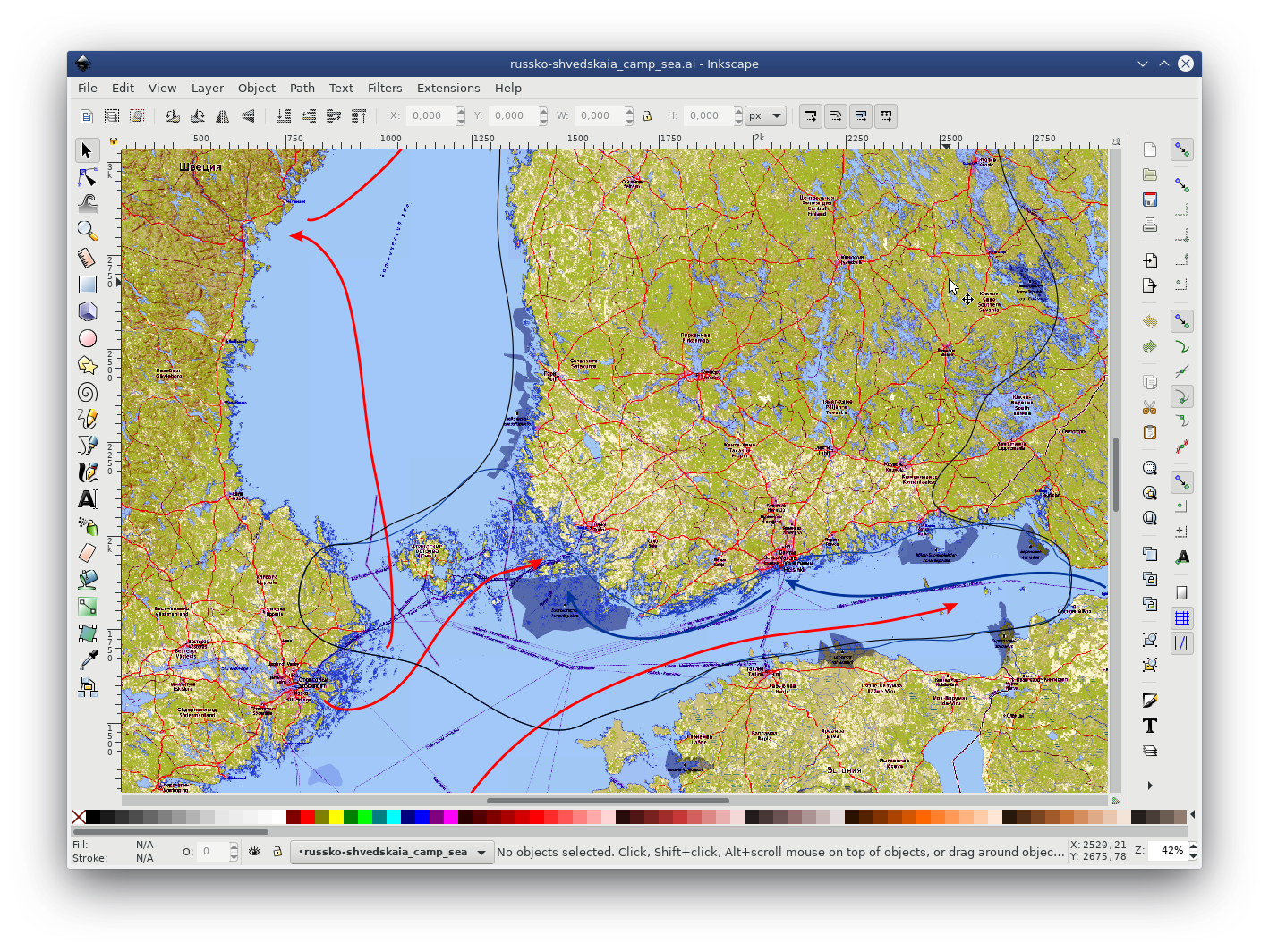
Fig. 113. Source vector data in .ai file#
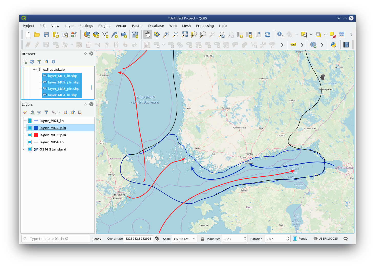
Fig. 114. Resulting layers are loaded into QGIS and displayed in front of the OSM basemap#
Try the tool in action
Click on the Demo button above the tool form. The fields are filled in with demo values.
Click on the Run button.