Erase overlapping areas from layer#
Erases parts of polygonal features, overlapping with geometries from another layer.
Inputs:
Target layer (erase from) - file in OGR-supported format (ZIP archive for ESRI Shapfile);
Layer with subtractable objects. File in OGR-supported format (ZIP archive for ESRI Shapfile).
Outputs:
File with modified features in the same format.
Launch the tool: https://toolbox.nextgis.com/t/eraser
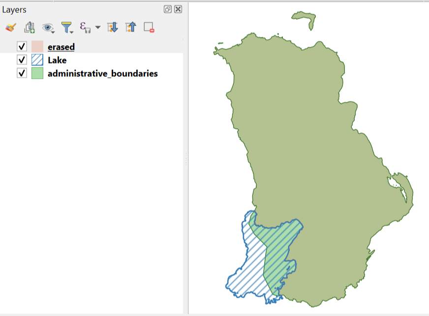
Fig. 131. Administratived boundaries minus the lake#
Try the tool in action
Click on the Demo button above the tool form. The fields are filled in with demo values.
Click on the Run button.