Central lines of polygons#
This instrument creates centerlines for polygons. It is helpful for transforming roads or rivers digitized as polygons into lines.
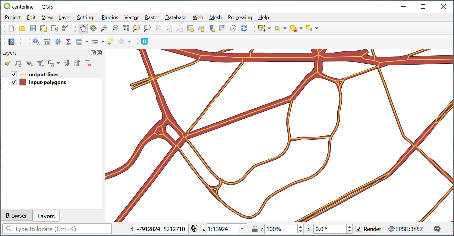
Fig. 117. Input polygon layer and resulting line layer#
Inputs:
Polygon vector layer in a GDAL-supported format, e.g. GeoPackage, GeoJSON, MapInfo TAB, ESRI Shapefile (the latter two should be in ZIP archive).
Outputs:
Line vector layer in GeoPackage.
Launch the tool: https://toolbox.nextgis.com/t/centerline
Try the tool in action
Click on the Demo button above the tool form. The fields are filled in with demo values.
Click on the Run button.