

Download OpenStreetMap#
Download OpenStreetMap features (buildings, roads, landuse, etc.) for a given bounding box via the Overpass API. Returns a ZIP archive with a GeoPackage containing one layer per category and a manifest.
Inputs:
Bounding box in WGS84 (west, south, east, north);
Categories - Comma-separated OSM categories to download. Available: buildings, roads, paths, landuse, natural, waterways, amenities, shops, tourism. Default:
buildings,roads,landuse;Custom tags - JSON string with custom OSM tags, e.g.
{"leisure": "park"};Network type. Road network type to download (only used when ‘roads’ category is selected):
Drive
Walk
Bike
All - default
Outputs:
ZIP archive with a GeoPackage containing one layer per category;
Text report with the number of features for each layer;
JSON manifest.
Launch the tool: https://toolbox.nextgis.com/t/osm_download
Example:
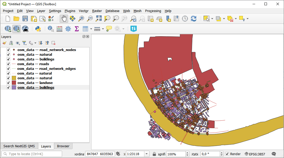
Fig. 218. Downloaded data#
Try the tool in action
Click on the Demo button above the tool form. The fields are filled in with demo values.
Click on the Run button.