Temporal polygons from lines and points#
The tool creates polygons that reflect the state of the area at a particular point in time. Polygons are formed from a set of polylines, each of which is characterized by the start and end dates of its existence. Attributes for polygons are assigned from a layer of points, which also has a time reference.
In addition, grouping of polygon identifiers by a given parameter is carried out by creating a separate field with an ID common to each group (its minimum value). The geometry of the polygons does not change.
Preparing the data
Make sure to set the following access permissions for both layers: Resource: Read and Data: Read data for Guest. All the resource groups that include the layers, up to the Main resource group, must also have Resource: Read permission set for Guest.
The layer of polylines must include the following fields:
upperdat - the start date of the line’s existence;
lwdate - the end date of the line’s existence;
a field that will be used for grouping.

Fig. 163. Input data. Layers of polylines and points#
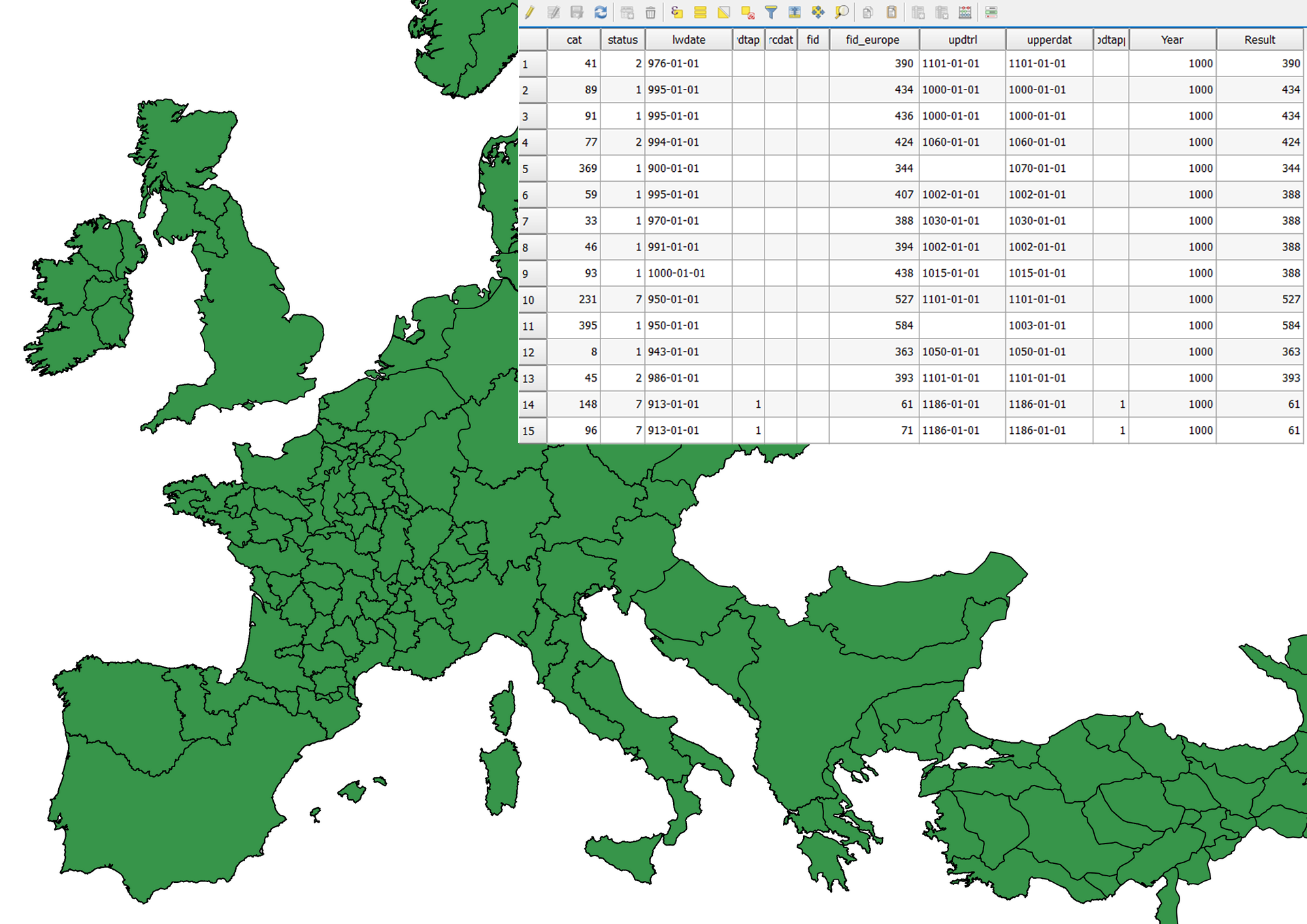
Fig. 164. An example of the result of a tool#
Inputs:
Web GIS URL - address of the used Web GIS (it must end on .com, no / or other symbols after it)
Line resource ID - ID of the polyline layer from the used Web GIS
Point resource ID - ID of the layer with points from the used Web GIS
Requested year - the year for which you want to get a time slice
Request year field name - name of the field where the requested year will be written
Result field - a new field where the grouping results will be entered, that is, ID
ID field - a field with unique values in the polyline layer; IDs for grouping are borrowed from it
Group field - the field by which polygons are grouped
Outputs:
a layer with polygons (shapefile) relevant for the given year
Launch the tool: https://toolbox.nextgis.com/t/lines2polygons
Try the tool in action
Click on the Demo button above the tool form. The fields are filled in with demo values.
Click on the Run button.