3.2.85. TROPOMI to GeoTIFF
The tool converts TROPOMI nitrogen dioxide data to GeoTIFF format.
Inputs:
TROPOMI data file in NetCDF format obtained from https://s5phub.copernicus.eu/dhus/#/home. Product type: L2__NO2__, Timeliness: Offline. Example of a file’s name: S5P_OFFL_L2__NO2____20190901T091635_20190901T105804_09761_01_010302_20190907T113505.nc
This dataset is available at https://browser.dataspace.copernicus.eu or s3://meeo-s5p/OFFL/L2__NO2___/ (access via AWS CLI).
Outputs:
GeoTIFF output image
Launch the tool: https://toolbox.nextgis.com/t/tropomi2geotiff
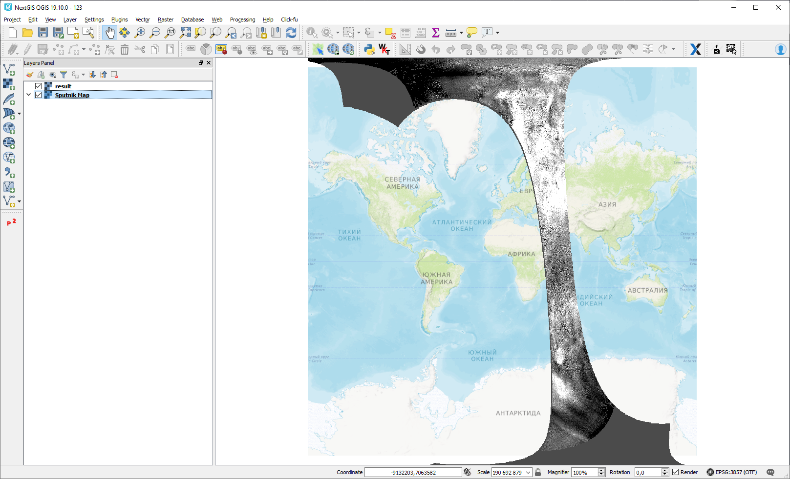
Interactive map with the result of the tool run:
Try the tool in action
Click on the Demo button above the tool form. The fields are filled in with demo values.
Click on the Run button.
