Prepare raster#
A tool that performs a per-band connection of a set of single-band rasters and crops the result using a vector mask.
Inputs:
Input raster dataset. 1) multiband GDAL-supported raster or 2) ZIP archive with singleband GDAL-supported rasters;
Input vector dataset. It will be used for clipping input raster. 1) OGR-supported single file or 2) ZIP archive with ESRI Shapefile.
Nodata value. Optional. Value that will be set as Nodata. Default is 0.
Output dataset name. Optional. No extension (e.g. ndvi, water). Extension will be automatically set to .tif.
Outputs:
Result raster in TIFF format.
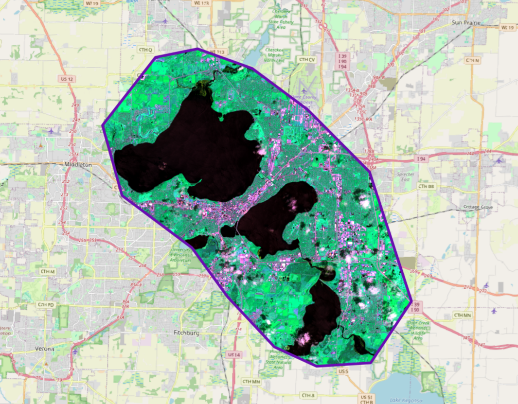
Fig. 191. Example output#
If the input is an archive with single-band rasters, the tool first combines them into a multi-band raster. The order of the bands is determined by alphabetically sorting the names of the initial rasters in the archive. Then the multi-band raster (assembled from the archive or submitted immediately) is cropped with a vector mask.
The initial rasters and the vector mask can be in different coordinate systems before processing, all data is brought into a single spatial domain.
Launch the tool: https://toolbox.nextgis.com/t/prepare_raster
Try the tool in action
Click on the Demo button above the tool form. The fields are filled in with demo values.
Click on the Run button.