

Aggregate vector layer to H3 grid#
Creates an H3 grid covering the vector layer extent and aggregates vector features and attribute values into its cells.
Inputs:
Input vector layer. GDAL-compatible vector dataset;
Minimal H3 Zoom (H3 zoom levels are valid in range 0-15);
Maximal H3 Zoom (H3 zoom levels are valid in range 0-15);
Aggregation attribute - numeric attribute used for aggregation. Not required for grid creation, feature count or geometry sum;
Feature spatial handling mode, select one from the list:
Fully inside (FULLY_INSIDE) - include only features completely inside an H3 cell.
Intersects (INTERSECTS) - include every feature intersecting an H3 cell.
Split by H3 grid (SPLIT) - split line or polygon features by the H3 grid and distribute attribute values proportionally to fragment length or area where applicable;
Aggregation method. How to aggregate vector features or attribute values: - Create grid only (EMPTY) - Count features (COUNT) - Sum length or area (GEOMETRY_SUM) - Sum (SUM) - Mean (MEAN) - Median (MEDIAN) - Min (MIN) - Max (MAX)
Output field name - name of the output aggregation field. If empty,
aggregated_valueis used;Split zoom levels - if checked, cells of each H3 zoom level will be saved to a separate layer.
Outputs:
GeoPackage containing H3 grid.
Launch the tool: https://toolbox.nextgis.com/t/aggregate_vector_layer_to_h3
Example:
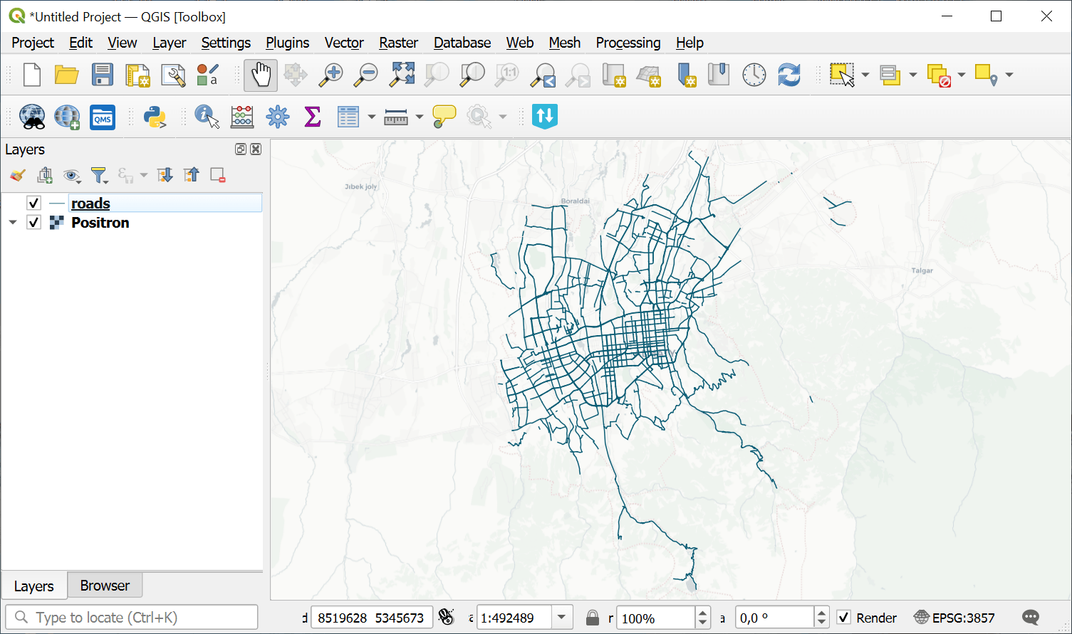
Fig. 124. Example input vector layer#
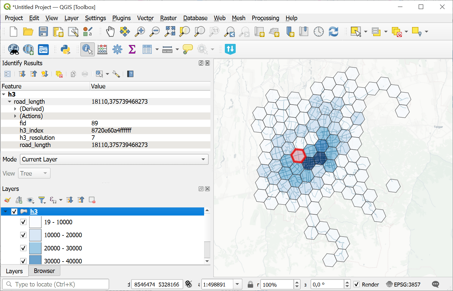
Fig. 125. Example output H3 grid#
Try the tool in action
Click on the Demo button above the tool form. The fields are filled in with demo values.
Click on the Run button.