

Aggregate raster layer to H3 grid#
Creates an H3 grid covering the raster layer extent and aggregates raster values into its cells.
Inputs:
Input raster layer. GDAL-compatible raster dataset;
Minimal H3 Zoom (H3 zoom levels are valid in range 0-15);
Maximal H3 Zoom (H3 zoom levels are valid in range 0-15);
Band number - raster band to aggregate values from (leave empty to use band 1);
Pixel spatial handling mode:
PIXEL_CENTER (PIXEL_CENTER) - include pixels whose centers fall inside the H3 cell;
INTERSECTS (INTERSECTS) - include every pixel touched by the H3 cell;
Aggregation method. How to statistically aggregate values:
Create grid only (EMPTY)
Count (COUNT)
Sum (SUM)
Mean (MEAN)
Median (MEDIAN)
Min (MIN)
Max (MAX)
Mode (MODE)
Output field name;
Split zoom levels. If checked, each H3 zoom level cells will be saved in separate layer.
Outputs:
None
Launch the tool: https://toolbox.nextgis.com/t/aggregate_raster_layer_to_h3
Example:
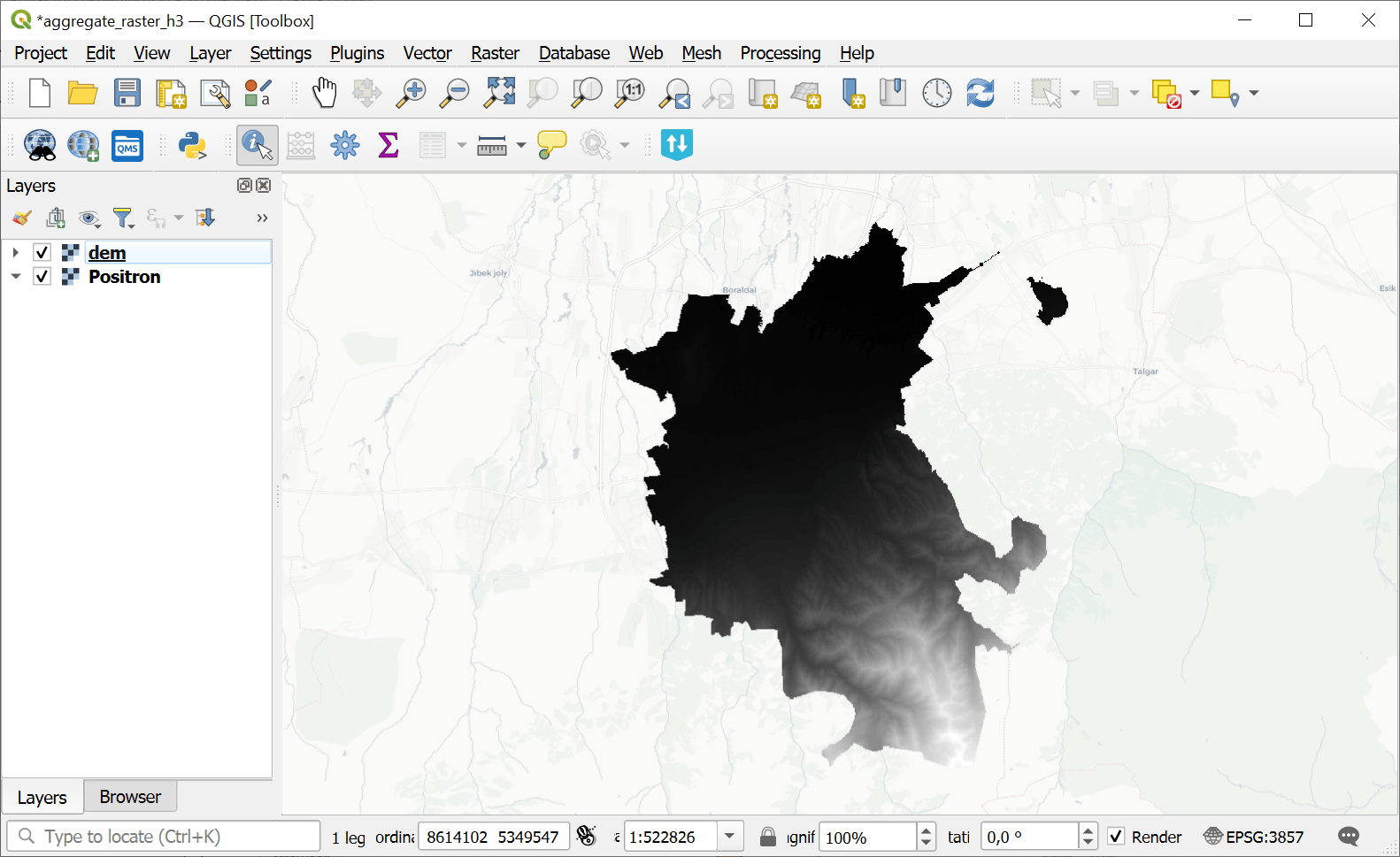
Fig. 120. Example input raster layer: DEM#
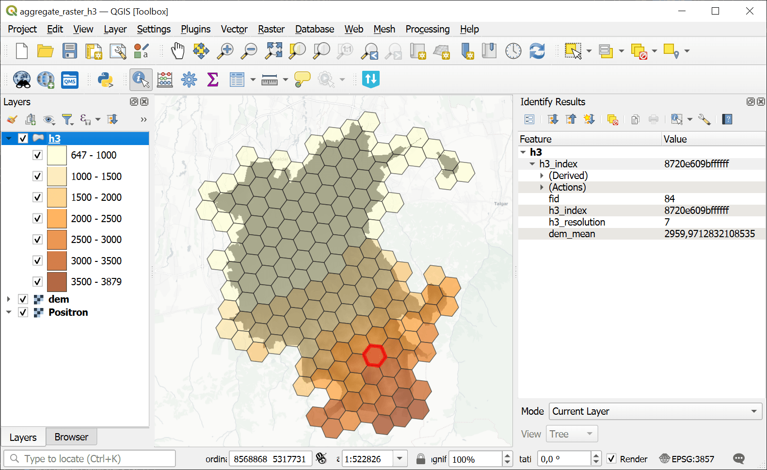
Fig. 121. Example output H3 grid#
Try the tool in action
Click on the Demo button above the tool form. The fields are filled in with demo values.
Click on the Run button.