Check geometries (QGIS)#
Checks a vector file for geometry validity using the QGIS checkvalidity algorithm.
Inputs:
ZIP archive with vector files in single-file formats (for example, GeoPackage, GeoJSON, etc.).
Note
Even if you have one file only, it needs to be in a ZIP archive.
Outputs:
CSV file with a list of errors and coordinates;
GeoJSON file with points marking the location of the errors.
Launch the tool: https://toolbox.nextgis.com/t/qgis_check_geometries
Example:
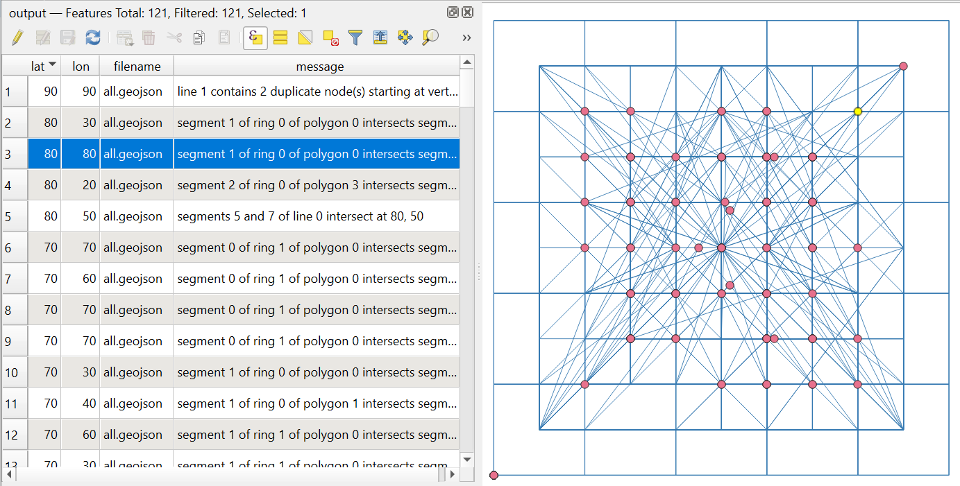
Fig. 192. Example output. Points mark the geometry errors#
Try the tool in action
Click on the Demo button above the tool form. The fields are filled in with demo values.
Click on the Run button.