Layer intersection#
Finds overlapping areas between features of 2 polygon layers.
Inputs:
Polygon layer 1
Polygon layer 2
Files should be in GDAL-supported format, e.g. GeoPackage, GeoJSON, MapInfo TAB, ESRI Shapefile (the last two - in ZIP-archive).
You can use this tool to clip line geometry. Upload the line layer to the field 1 and the clipping boundary to the field 2.
Outputs:
GeoPackage file with polygon layer containing only the overlapping areas.
Launch the tool: https://toolbox.nextgis.com/t/vectorclip
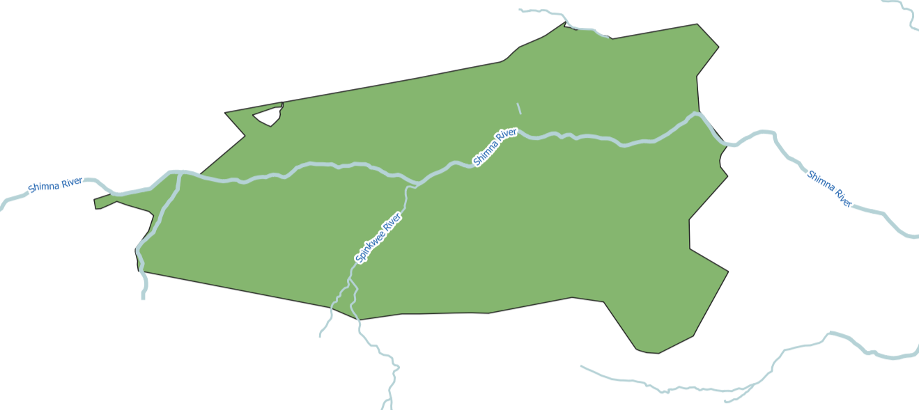
Fig. 212. Example input#
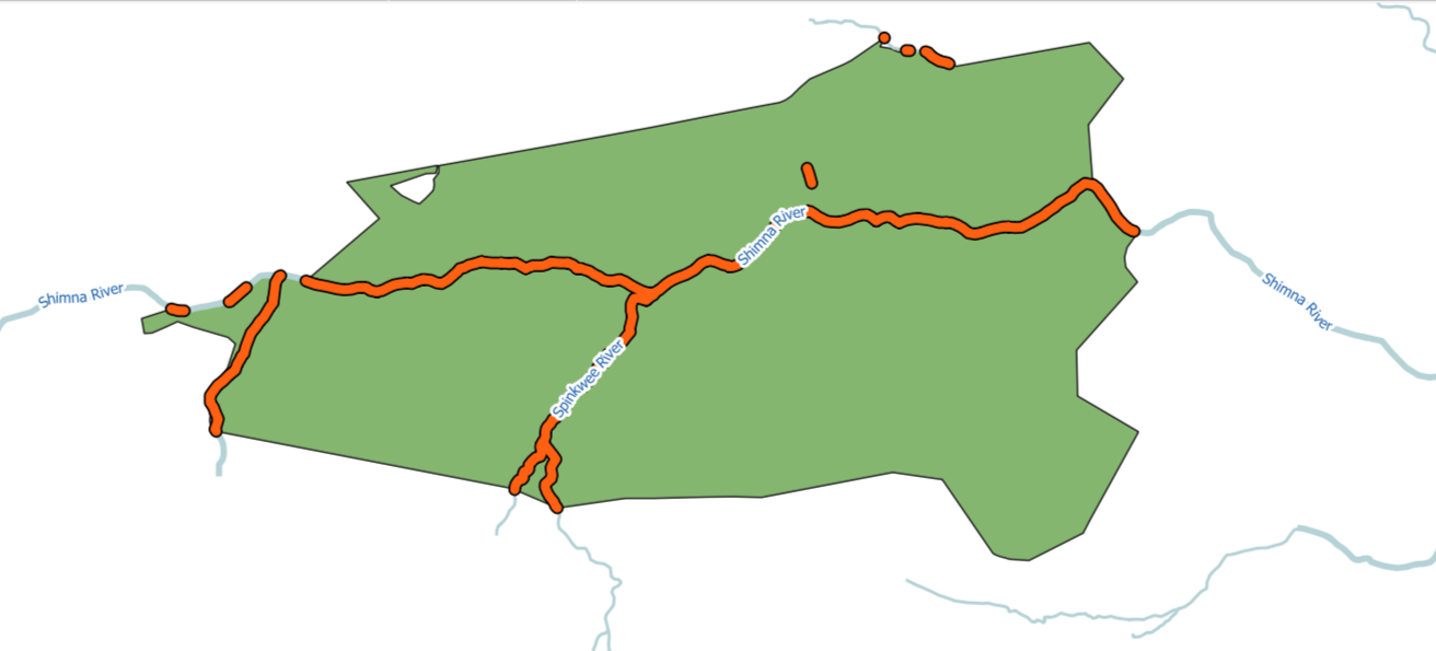
Fig. 213. Example output#
Try the tool in action
Click on the Demo button above the tool form. The fields are filled in with demo values.
Click on the Run button.