Geodata to PMTiles#
Generate PMTiles from vector or raster file. PMTiles is a single-file archive format for tiled data. A PMTiles archive can be hosted on a commodity storage platform such as S3, and used in web applications via HTTP queries.
To create tiles in other formats, use these tools
Tiles suitable for NextGIS Mobile Generate raster tiles from QGIS project
Tiles for NextGIS Mobile Raster to NGRC
Inputs:
Input file. Vector or raster layer.
Minimum zoom. 0-19
Maximum zoom. 0-19
Outputs:
PMTiles file
Launch the tool: https://toolbox.nextgis.com/t/geodata2pmtiles
Example:
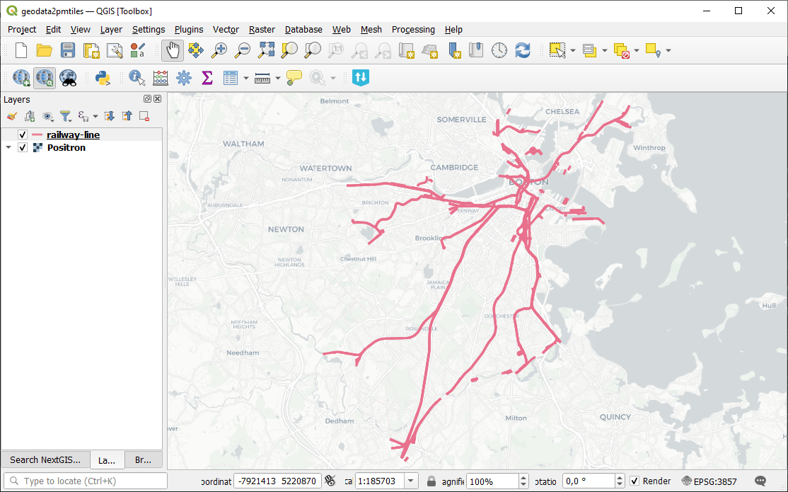
Fig. 143. Example input#
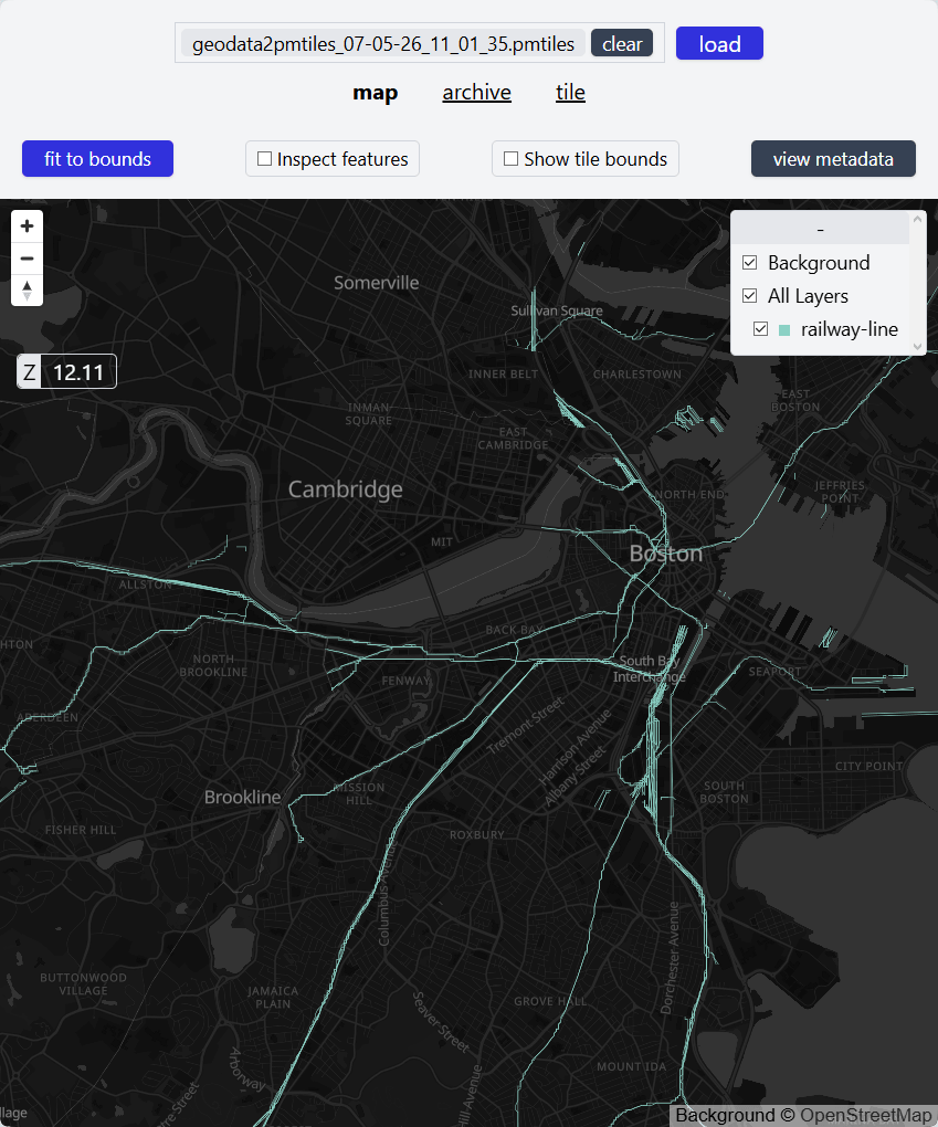
Fig. 144. Example output#
Try the tool in action
Click on the Demo button above the tool form. The fields are filled in with demo values.
Click on the Run button.