

Compute spectral index#
Compute normalized difference spectral indices (NDVI, NDWI, NBR) from Sentinel-2 or Landsat time series. Produces temporal aggregates (mean, max, min, stddev, range) aligned to the terrain analysis grid.
Inputs:
Satellite Imagery Package - ZIP file from Search & download Planetary Computer containing Sentinel-2 or Landsat band GeoTIFFs and manifest.json with time_series;
Spectral Index. Type of normalized difference index to compute:
NDVI (Vegetation) (NDVI);
NDWI (Water) (NDWI);
NBR (Burn Ratio) (NBR);
Generate series - tick to generate series rasters (max, min, std etc.) if multiple inputs are provided.
Outputs:
ZIP archive with spectral index aggregates, statistics, and manifest;
Human-readable summary of the spectral index results;
JSON manifest string describing all outputs.
Launch the tool: https://toolbox.nextgis.com/t/spectral_indices
Example:
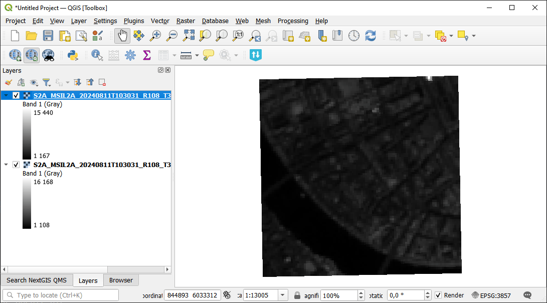
Fig. 244. Example input#
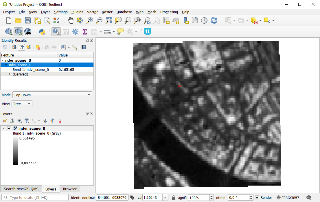
Fig. 245. Example output#
Try the tool in action
Click on the Demo button above the tool form. The fields are filled in with demo values.
Click on the Run button.