Add region and settlement names to attributes#
Appends attributes with administrative division and settlement names to any vector layer features. Uses data.nextgis.com extract as input source of region and settlement names.
Inputs:
Vector file - Geopackage, GeoJSON file or zipped ESRI Shapefile;
Zip file with data extract from data.nextgis.com;
Output name (optional).
Outputs:
GeoPackage file containing data with added attributes;
CSV file with the same data.
Launch the tool: https://toolbox.nextgis.com/t/add_regions
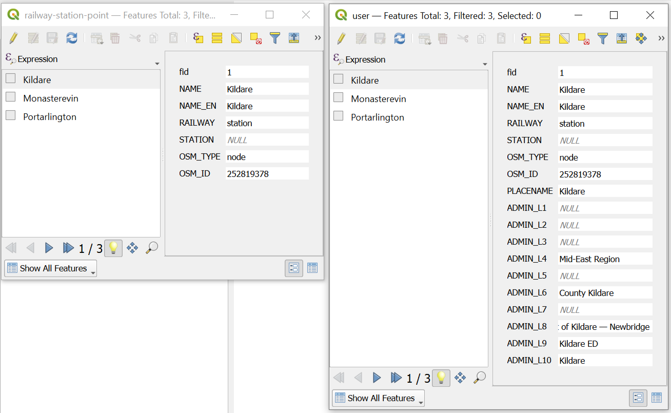
Fig. 112. Initial data and the same data with added attributes#
Try the tool in action
Click on the Demo button above the tool form. The fields are filled in with demo values.
Click on the Run button.