

Import PastVu photos to Web GIS#
Transfer points with photo from PastVu to vector layer with attachments.
Inputs:
Web GIS connection - URL of your Web GIS, e.g. https://demo.nextgis.com and login/password if necessary;
Import bounding box - you can mark it on a map, draw it and then correct the numbers or enter the extent manually following the format ‘xmin, xmax, ymin, ymax’. Enter coordinates in WGS 84 (EPSG:4326). Bounding box area shouldn’t exceed 50 km²;
Create Web Map - check this option if you want to create a Web Map displaying the layer with photos.
Outputs:
Resource group containing the layer with photo attachments;
Web Map (if selected).
Launch the tool: https://toolbox.nextgis.com/t/pastvu2webgis
Example:
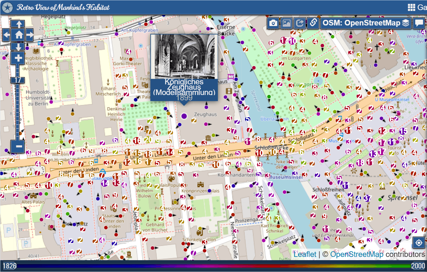
Fig. 223. An area on Pastvu#
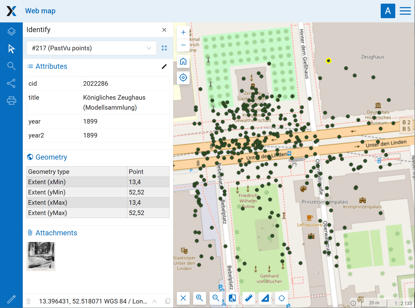
Fig. 224. Resulting Web Map with attached photos#
Try the tool in action
Click on the Demo button above the tool form. The fields are filled in with demo values.
Click on the Run button.