3.2.74. Tileset from raster
Service generates raster tiles (NGM format) from input gdal-supported raster.
Inputs:
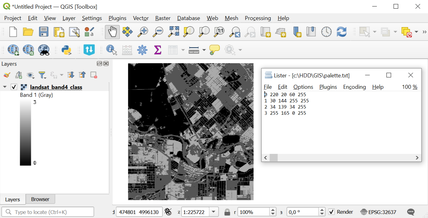
Palette file - TXT file with color scheme of each raster values located in a separate line. Order: Value Red Green Blue Opacity. For example, for a value of 23, assigning a completely opaque lilac color looks like this:
23 200 162 200 255. Opacity ranges from 0 to 255, 0 - completely transparent, 255 - completely opaque. Use an empty text file to keep the original palette (for single-band with palette) and for RGB / RGBA rasters;Raster dataset - RGB, RGBA, single-band gray or single-band with palette GDAL-compatible raster;
Tiles name - the name that will be used for the file name and for the layer in NGM;
Zoom levels - the levels at which the tiles will be displayed. This refers to standard zoom levels, for example, as for OSM maps. Possible input values: a number indicating one level, for example, 10; a range of levels, for example, 8-14; hyphen - for auto-selection of levels.
Outputs:
NGRC file with tileset.
Launch the tool: https://toolbox.nextgis.com/t/raster2tiles
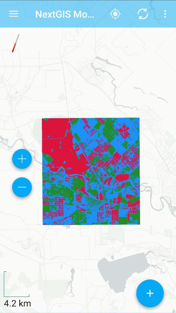
Example of the tool’s work:

Pic. 3.64. Example input

Pic. 3.65. Example output
Try the tool in action
Click on the Demo button above the tool form. The fields are filled in with demo values.
Click on the Run button.