Simulation of location data#
How to use a third party software as a source of location data for your device.
Install a mock location app. For example, this one.
Turn on Developer mode on your smart phone. To do so, tap the Build number 7 times (in Software information).
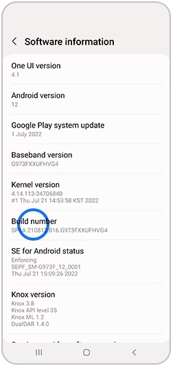
Fig. 1038. Enabling developer mode#
In the Developer options select mock location app installed on step 1.
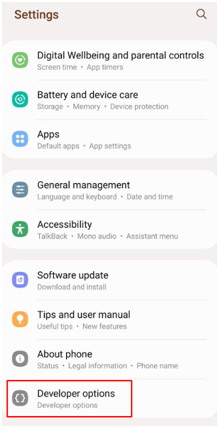
Fig. 1039. Opening developer settings#
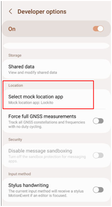
Fig. 1040. Selecting mock location app#
Open the mock location app. Create a simulation, name it.
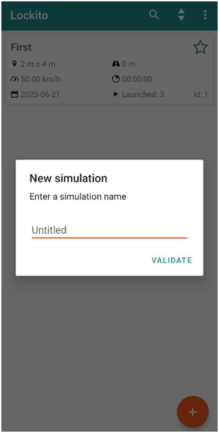
Fig. 1041. Creating a simulation#
Select a point on the map (or use current location) and tap Play.
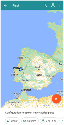
Fig. 1042. Selecting point on the map#
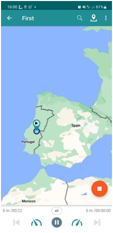
Fig. 1043. Simulation in progress#
From that moment on your smart phone will get coordinates of your current location from the app. Open NextGIS Mobile to see that it works.
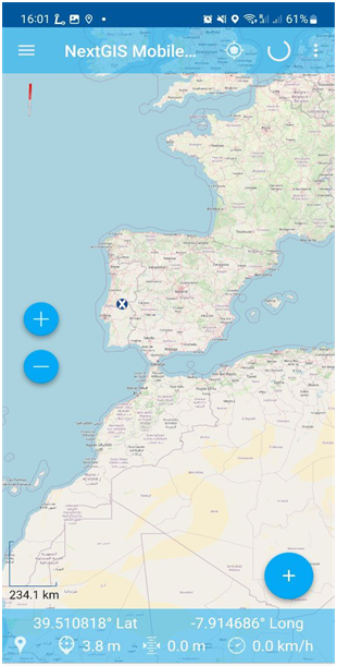
Fig. 1044. Coordinates from an external source in NextGIS Mobile#