Create forestplots scheme for Garmin
The tool generates forest field plots in KMZ format ready to upload to Garmin devices. Areas located closer than 10 m from the plot border are discarded. A buffer zone is added around the plot at a distance of 50 m.
Inputs:
Input polygon dataset. Supported formats are zipped shapefile, MapInfo TAB or OGR-compatible file. Must contain only one feature without rings.
Step between points. Distance between plots in meters. Default 55 meters.
Outputs:
KMZ file with forest field plots ready to upload to Garmin devices.
Separate JPG file with forest plots scheme.
Launch the tool: https://toolbox.nextgis.com/t/forestplots_field
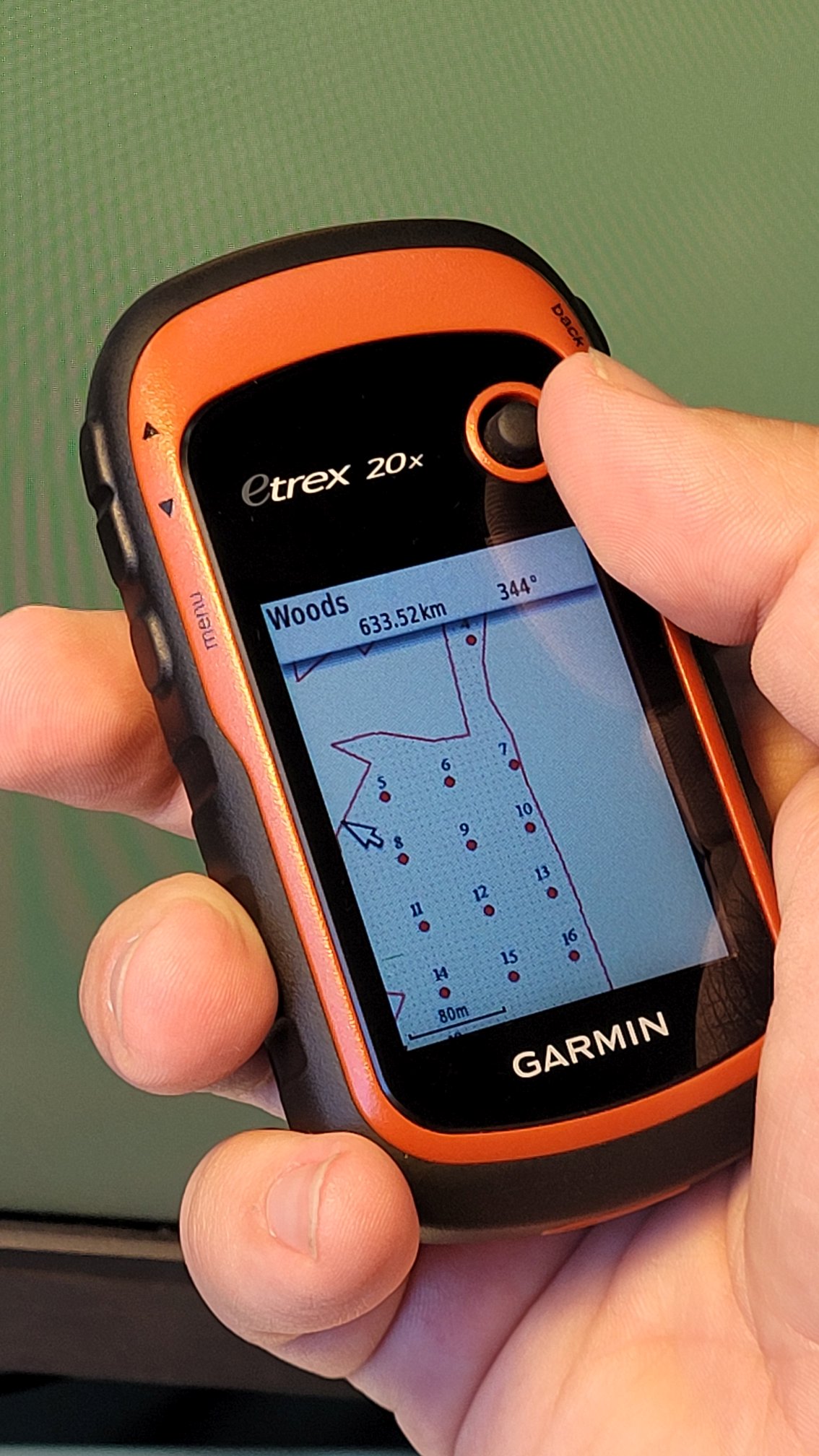
An example of result uploded to Garmin
Try the tool in action
Click on the Demo button above the tool form. The fields are filled in with demo values.
Click on the Run button.